
Terrestrial Scan Processing & 3D Modelling
Scan-to-CAD and Scan-to-BIM processing for industrial plants, AEC documentation and heritage preservation.
Explore what we deliver
What we do
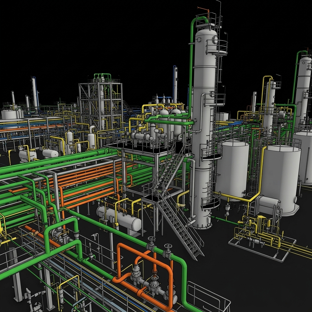
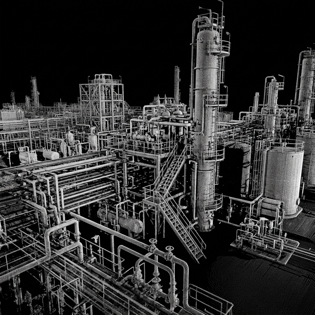
- Point cloud scanBIM model01/03
Scan To 3D
Transform your raw laser scan and point cloud data into accurate, high-fidelity 3D models. We convert client-provided scan data into survey-grade CAD, Revit, or textured mesh models optimized for design and engineering workflows.
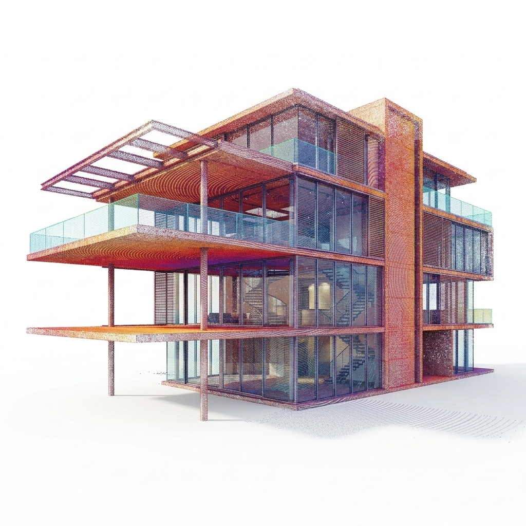
 Point cloud scanBIM model02/03
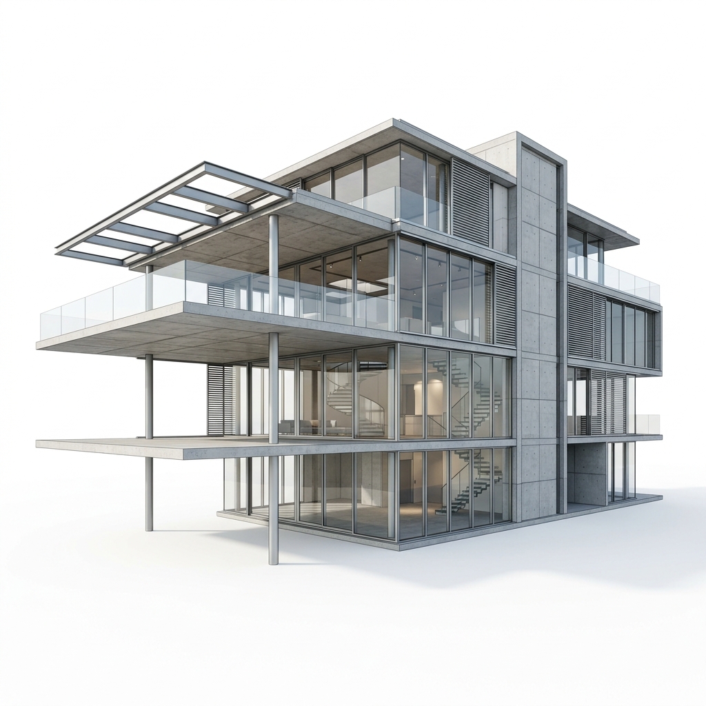
Scan To BIM
Transform client-provided laser scans and point cloud data into parametric, discipline-coordinated BIM models. We deliver structured Revit and IFC models across architecture, structural engineering, and MEP disciplines.
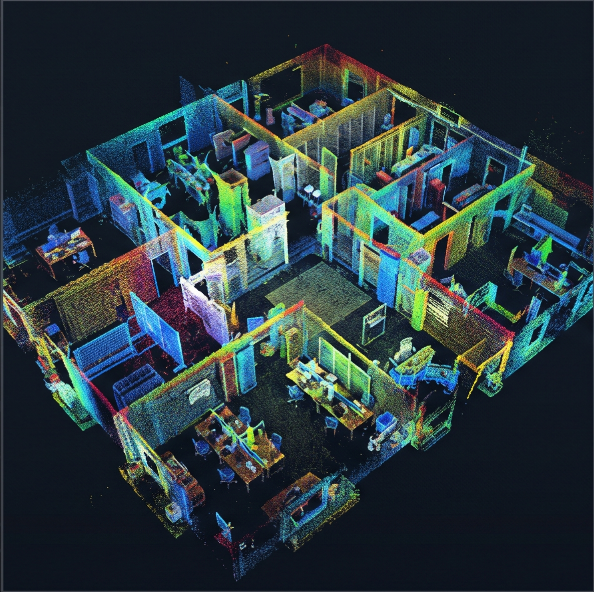
 Point cloud scan2D CAD plan03/03
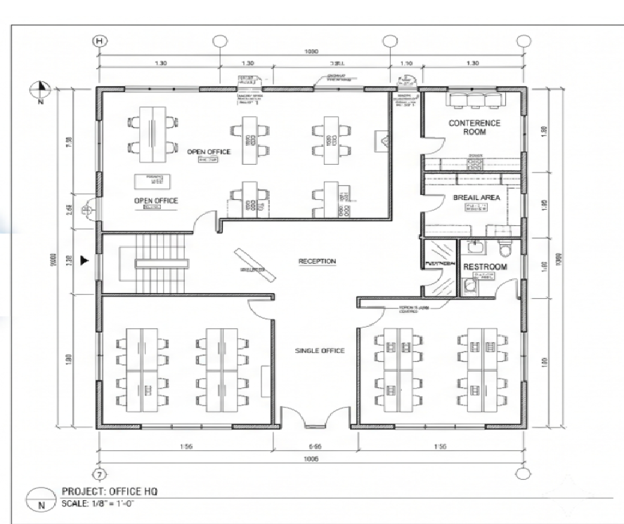
Scan To 2D
Generate clean 2D floor plans, elevations, and sections from client-provided point cloud data. We deliver highly accurate architectural layouts and structural drawings formatted to your exact CAD guidelines.
We transform client-supplied terrestrial scan data into comprehensive as-built documentation and 3D models for design, engineering and restoration projects. From raw point clouds to fully developed Revit, AutoCAD 3D and 2D CAD files, our deliverables span LOD 100 through LOD 400 across architecture, structure and MEP disciplines.
- Industrial process plants — architectural, structural and mechanical integration
- Cultural heritage — high-fidelity digital documentation for restoration
- Substations, bridges and infrastructure modelling
- High-precision CAD and BIM modelling to project specifications
- True-View and panoramic imagery for visual inspection