
Scan To BIM
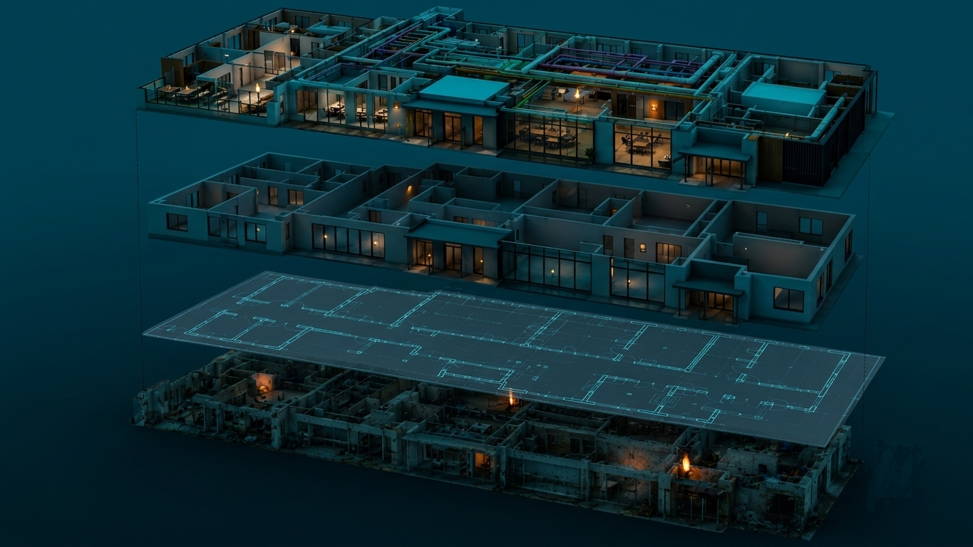
Transform client-provided laser scans and point cloud data into parametric, discipline-coordinated BIM models. We deliver structured Revit and IFC models across architecture, structural engineering, and MEP disciplines.
Overview
Precision BIM models from raw scan data — We process raw client-provided point cloud data to create highly accurate 3D BIM models. Our specialized team handles Revit family creation, structural modeling, MEP coordination, and architectural geometry to match your exact BIM templates and LOD guidelines.
Example outputs
Sample 01 / 11
Client confidentiality
All project samples are shared with client permission. We treat every dataset as confidential and never disclose client data.
Want to explore further? Get in touch or schedule a meeting to help build trust.
How we do it
- 01BIM Standard AlignmentWe align on template requirements, family libraries, and Level of Development (LOD) standards matching the client's guidelines.
- 02Point Cloud PrepClient-provided scan files are indexed and imported into our specialized modeling software, checking coordinate systems and controls.
- 03Structural & Architectural ModelingOur modelers draft structural members (beams, columns, slabs) and architectural shells (walls, windows, doors) directly over the registered scans.
- 04MEP & Utility RoutingWe trace piping, ductwork, and conduit routes from scan data, establishing exact centerlines and diameters for services.
- 05QA Auditing & ExportWe perform clash detection and visual accuracy checks against the point cloud before exporting to native Revit (RVT) or IFC formats.
Use cases
- Outsourced point cloud-to-BIM modeling
- Creating as-built BIM baselines for facility management
- Pre-construction coordination and design preparation
- Digital twins for operations and renovation modeling
- Discipline clash check and clearance verification
Deliverables
- Native Revit models (RVT)
- Open BIM exchange files (IFC)
- Coordinated architectural and structural layouts
- Fully modeled MEP and piping networks
- Navisworks clash detection and deviation reports
Continue exploring
Terrestrial Laser Scanning & 3D Modelling