
Customised Solutions
Bespoke workflows, automation and technology integration tailored to unique project requirements.
Explore what we deliver
What we do
 01/04
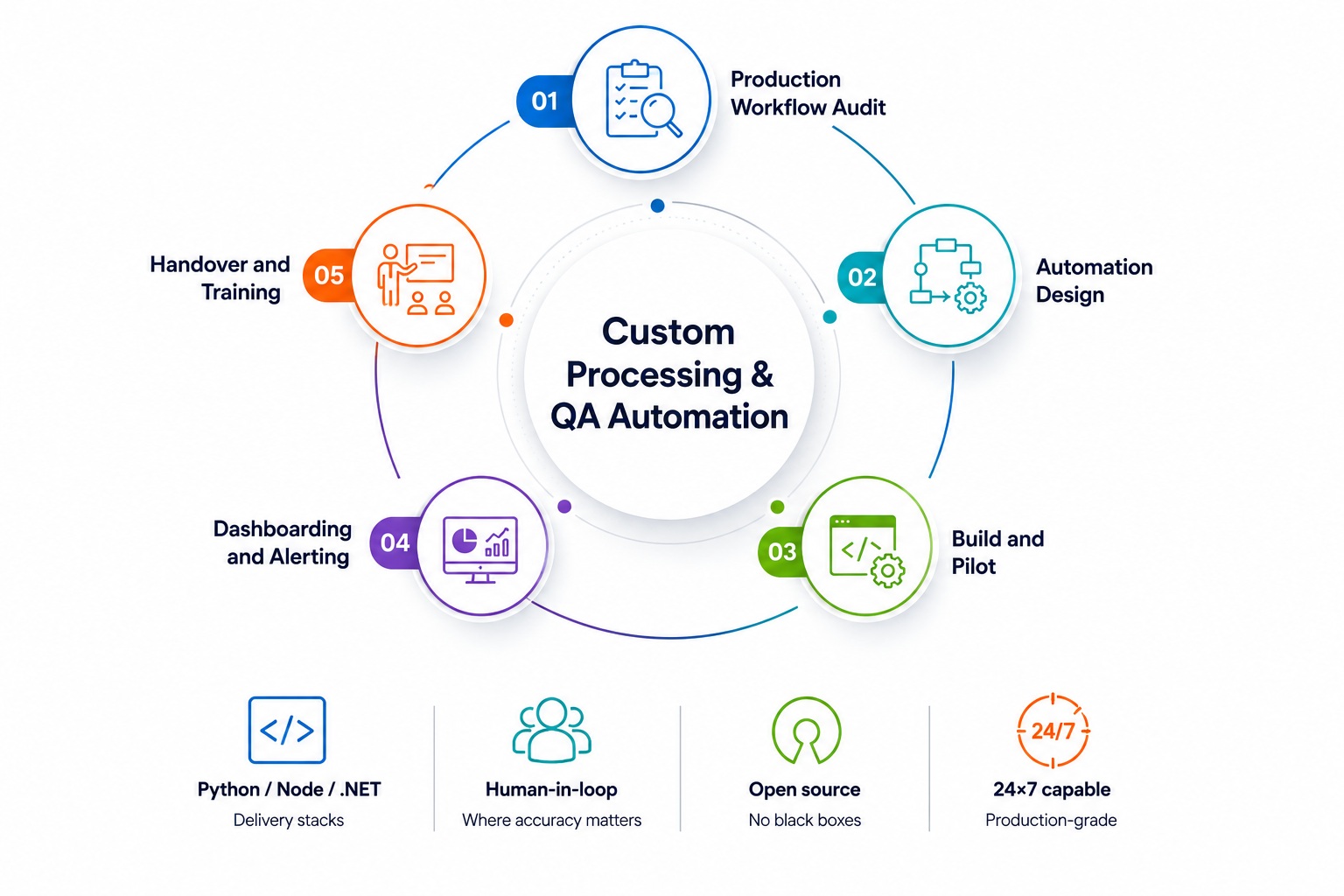
01/04Custom Processing & QA Automation
Bespoke pipelines, QA tooling and dashboards for long-running production programmes. Built by engineers who have lived inside geospatial delivery — not sold as generic middleware.
 02/04
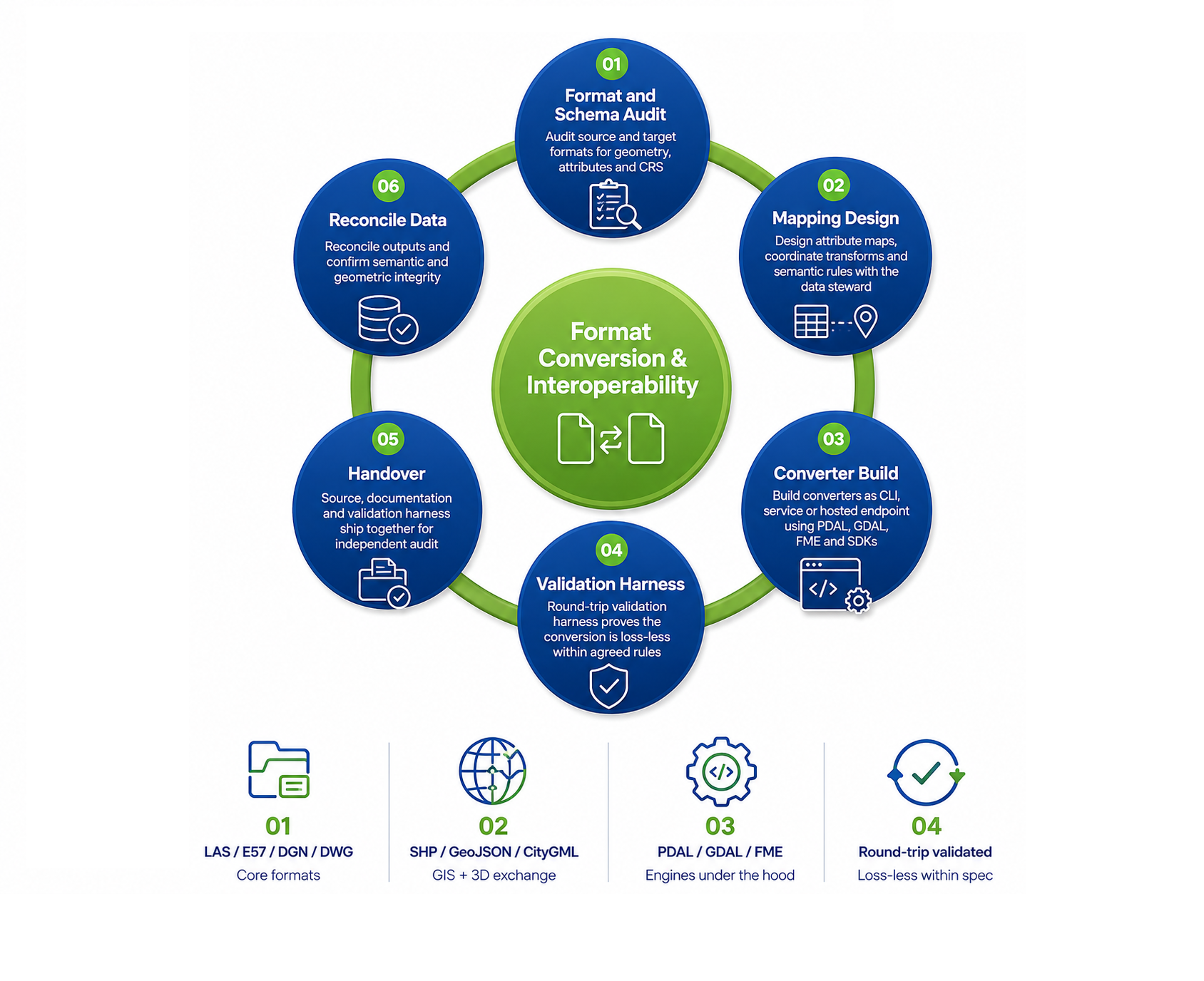
02/04Format Conversion & Interoperability
Loss-less converters between LAS/LAZ, E57, DGN, DWG, SHP, GeoJSON, CityGML and client-proprietary schemas. Delivered as scripts, services or fully hosted endpoints as the workflow demands.
 03/04
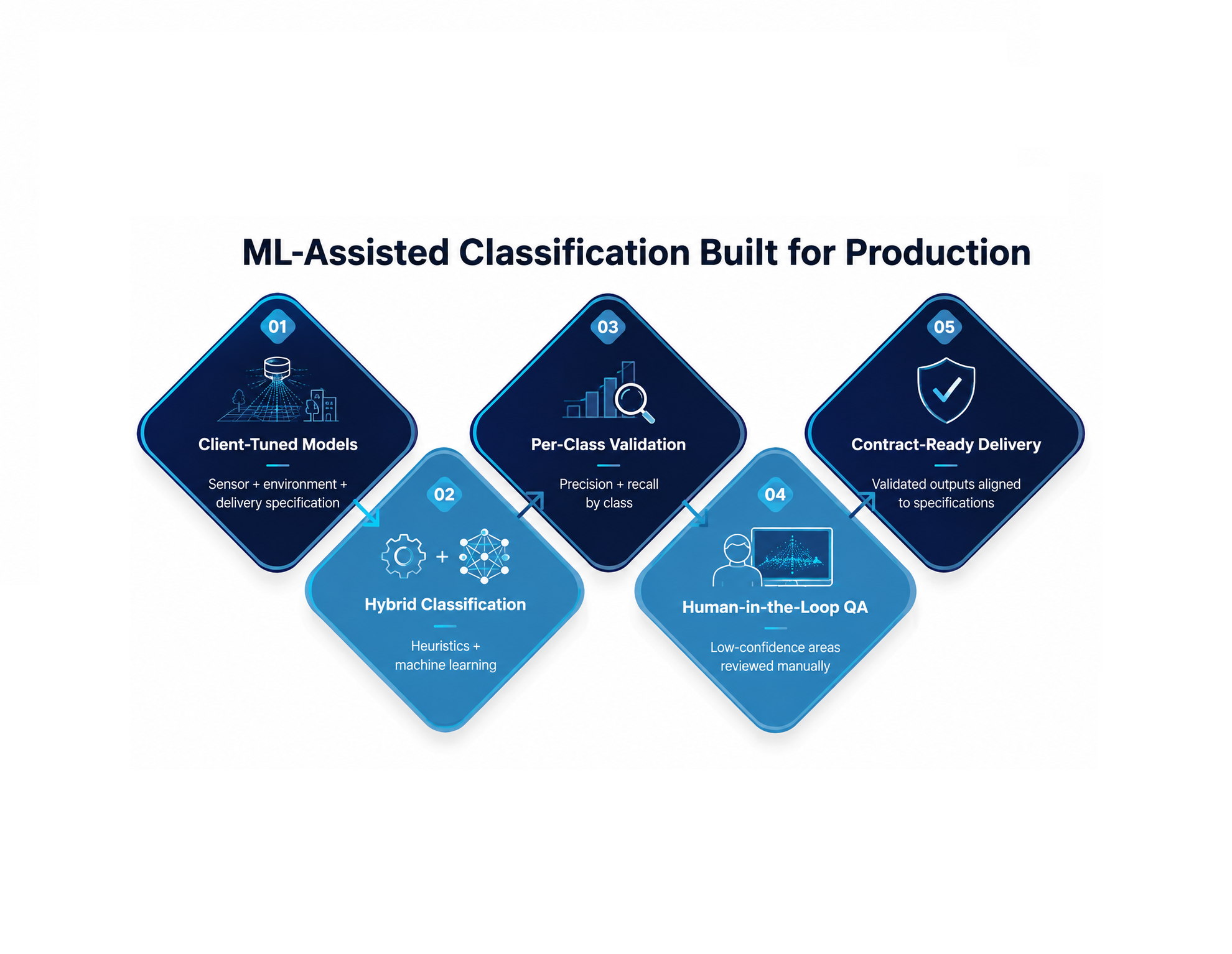
03/04ML-Assisted Classification
Hybrid heuristic + machine-learning models tuned to your sensors, environments and delivery specification. We deploy them behind the same QA discipline as our manual classification cells.
 04/04
04/04Dedicated Production Cells
24×7 teams and infrastructure carved out for long-running geospatial programmes with predictable throughput commitments. Governance, security and reporting are wired in from day one.
When standard pipelines don't fit, we design them. Custom QA tooling, automation scripts, format converters, classification heuristics and integration with client-specific platforms — built by engineers who have lived inside production geospatial workflows.
- Custom processing & QA automation
- Format conversion and interoperability tooling
- Bespoke classification heuristics and ML-assisted pipelines
- Integration with client GIS, CAD and asset management systems
- Dedicated production cells for long-running programmes