
Aerial Image Processing & Digital Photogrammetry
Transform aerial, satellite, and UAV imagery into accurate, decision-ready geospatial data for infrastructure, planning, and environmental applications.
Explore what we deliver
What we do
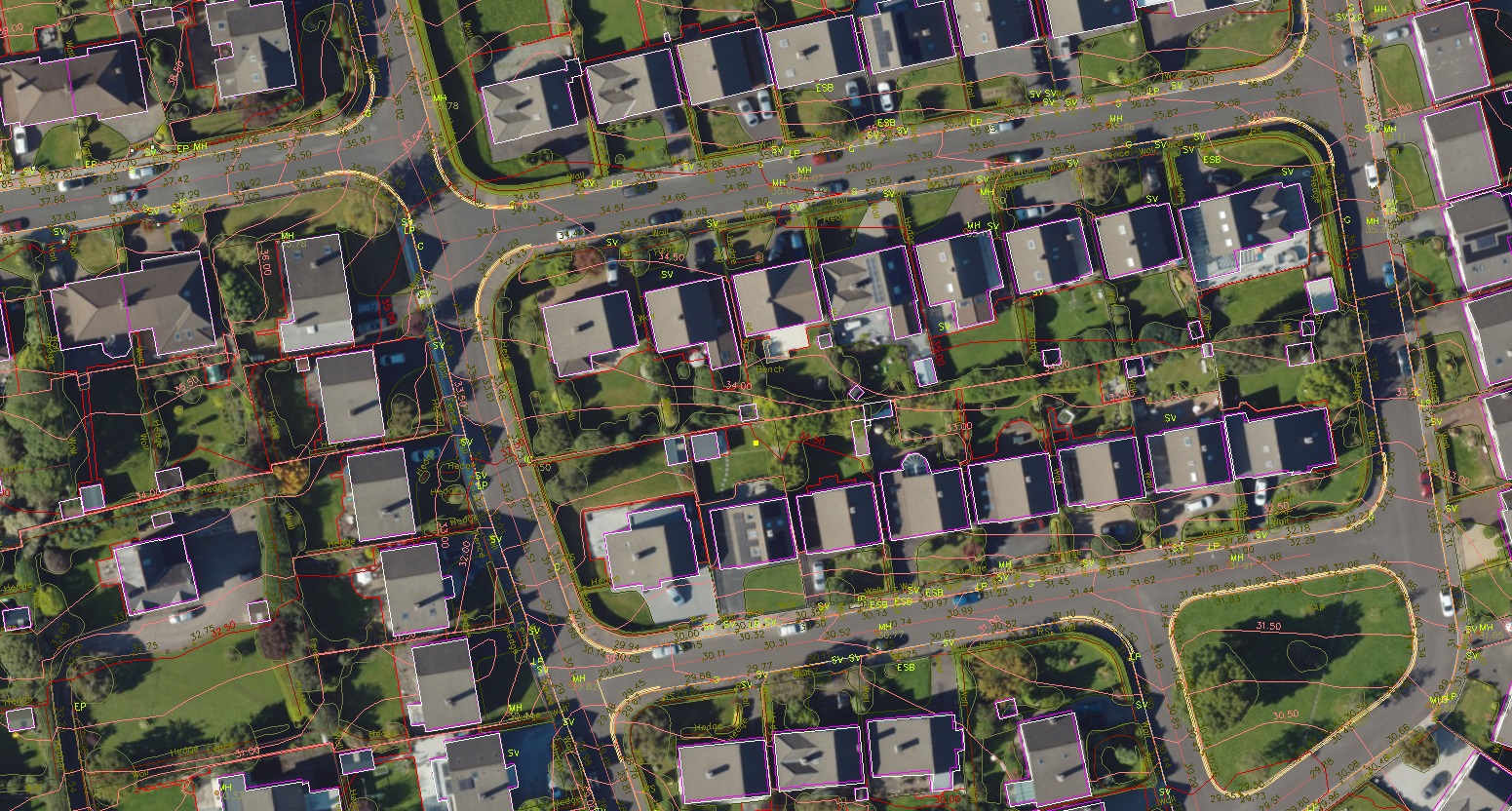
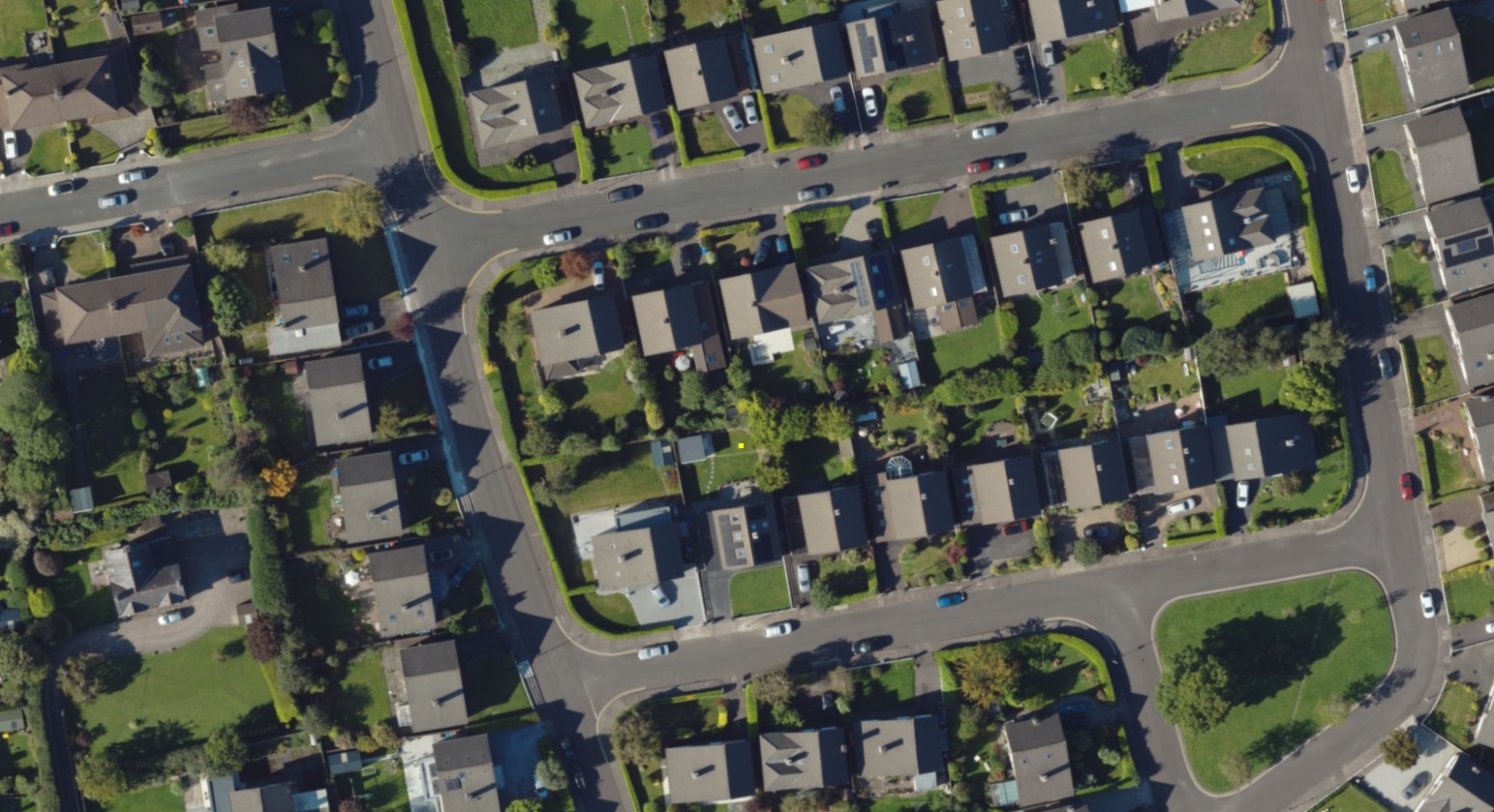
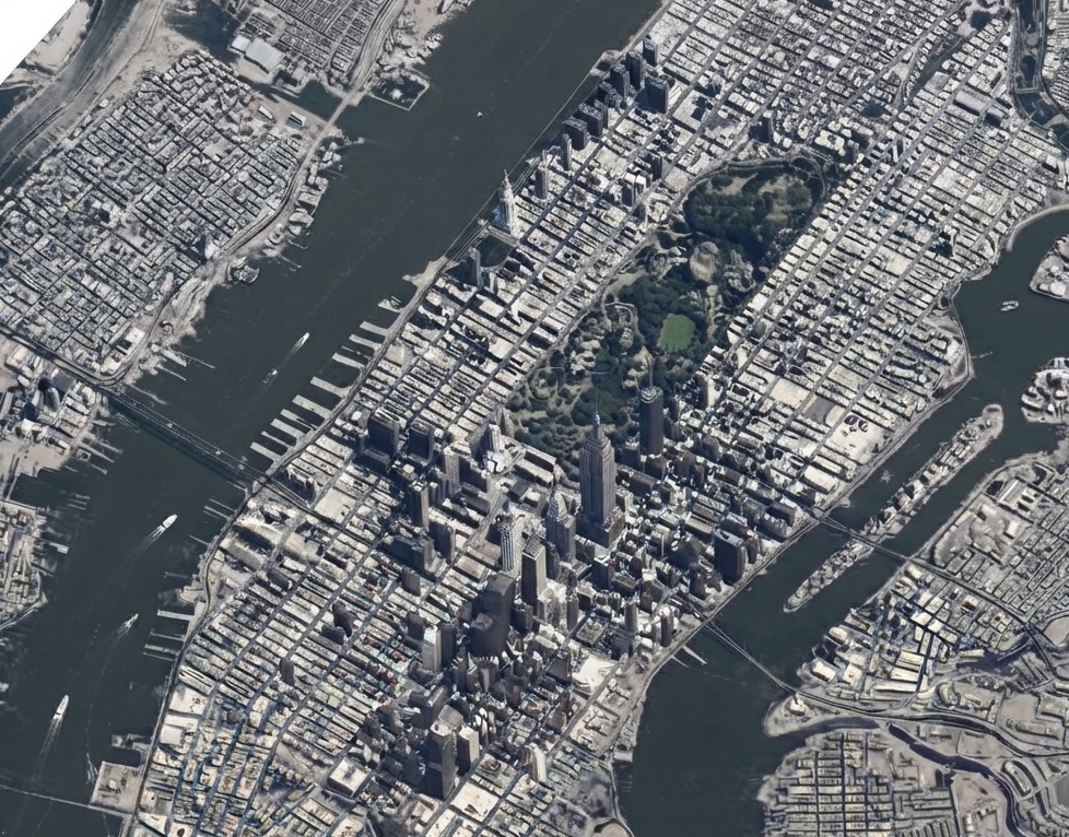
- Raw imageryProcessed data01/04
Aerial Image Processing
Accurate processing of aerial, satellite, and UAV imagery into reliable geospatial data for mapping, infrastructure, urban planning, and environmental applications. VMAPStech delivers digital photogrammetry and image-processing services for projects ranging from large-scale regional mapping to detailed site mapping, with outputs tailored to project requirements.
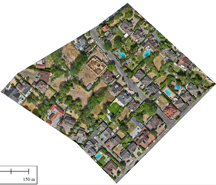
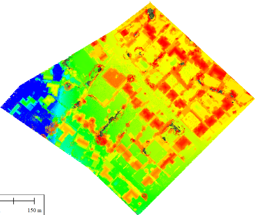 Raw UAV imageryProcessed geospatial data02/04
UAV Mapping & Image Processing Services
Transform UAV imagery into accurate, survey-grade geospatial data for infrastructure, construction, urban, mining, industrial, and environmental applications. VMAPStech provides post-acquisition UAV data processing, delivering orthophotos, DTM/DSM, classified point clouds, contours, and 2D/3D feature mapping.
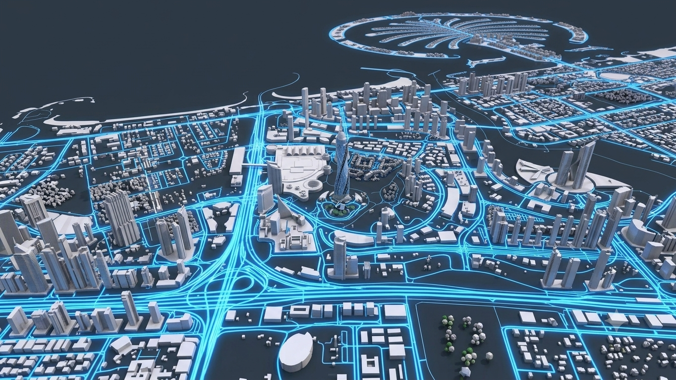 Aerial imagery3D city model03/04
3D City Modelling Services
Develop accurate 3D city models from aerial photogrammetry and UAV data for urban planning, infrastructure design, visualization, and digital twin applications. VMAPStech delivers LOD 100–LOD 350 3D city models, converting aerial data into structured 3D building and urban environments tailored to project requirements.
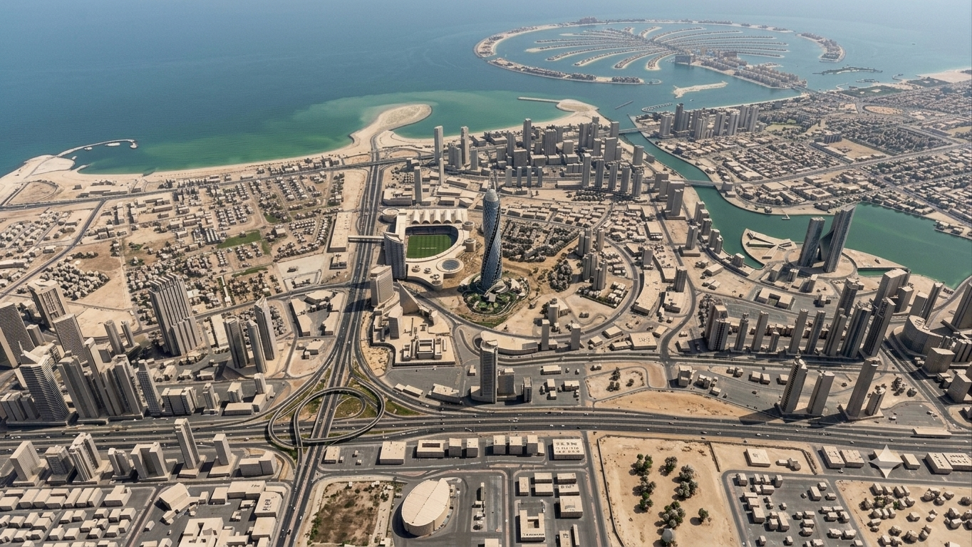
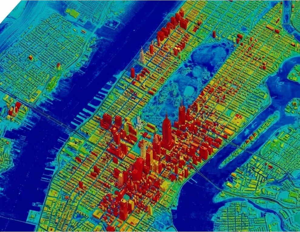 Raw satellite dataProcessed intelligence04/04
Satellite Image Processing Services
Transform multi-resolution satellite imagery into accurate, analysis-ready geospatial data for urban planning, infrastructure development, environmental monitoring, resource management, and telecommunications. VMAPStech delivers image classification, land-use/land-cover mapping, change detection, feature extraction, DEM/DSM, and thematic mapping to support informed spatial decision-making.
VMAPStech processes client-supplied imagery for projects ranging from regional-scale mapping to detailed site mapping, producing reliable spatial datasets aligned with project requirements.
- Aerial triangulation across multi-sensor datasets
- 2D and 3D stereo compilation / restitution
- Topographic & planimetric feature extraction
- Contour generation at required intervals
- Orthophoto and orthomosaic production