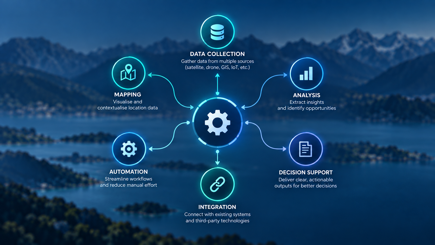
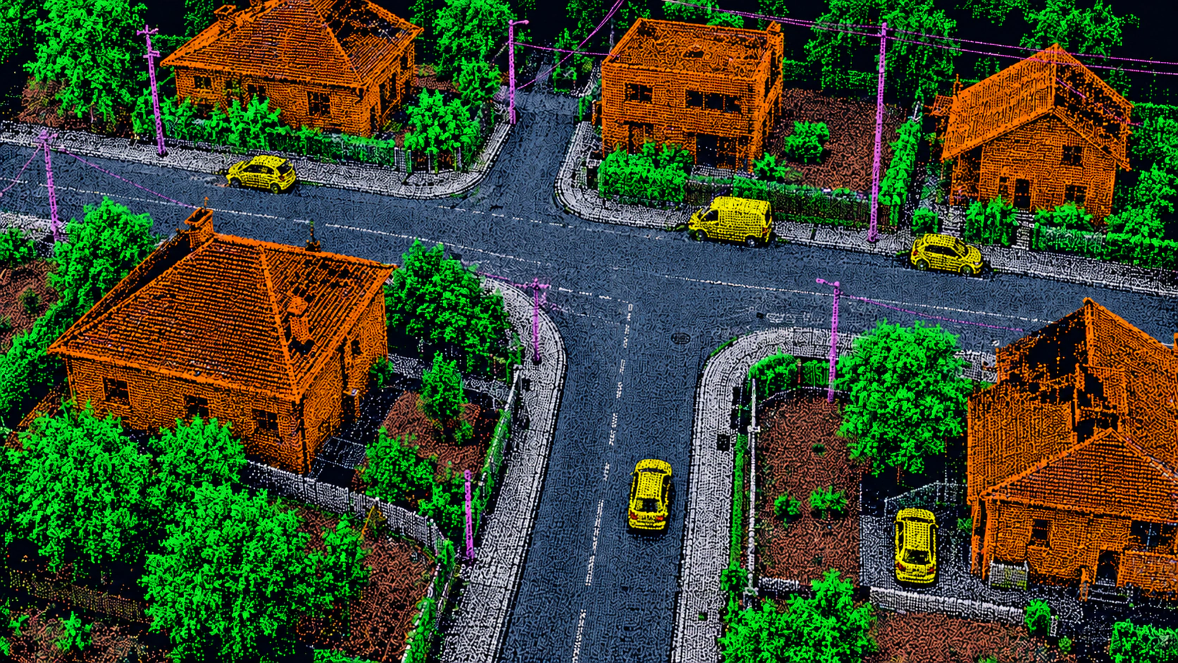
Process
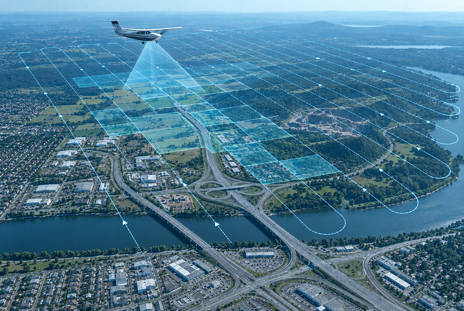
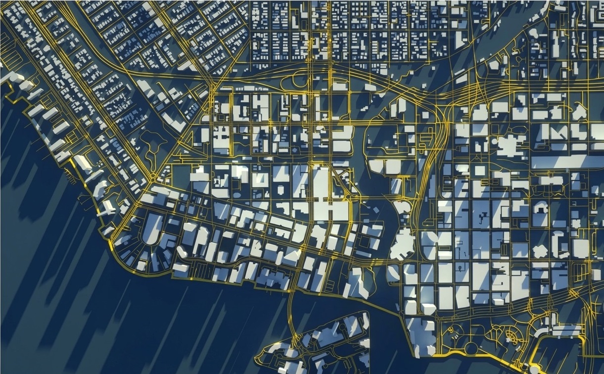
Terrain & elevation
- Ground & non-ground LiDAR mapping
- 100K+km²
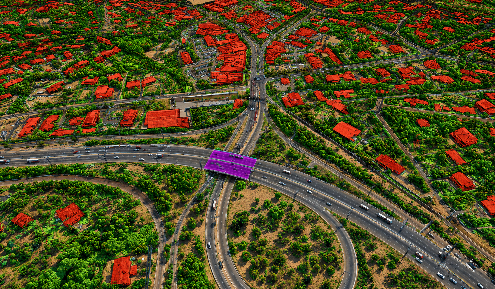
- Advanced LiDAR classification
- 40K+km²
PRECISION IN EVERY DIMENSION.
We deliver reliable spatial intelligence engineering solutions to move your projects forward with confidence.
Every industry has different challenges. We bring the LiDAR, BIM and geospatial expertise to help you plan clearly, work efficiently and deliver with confidence.
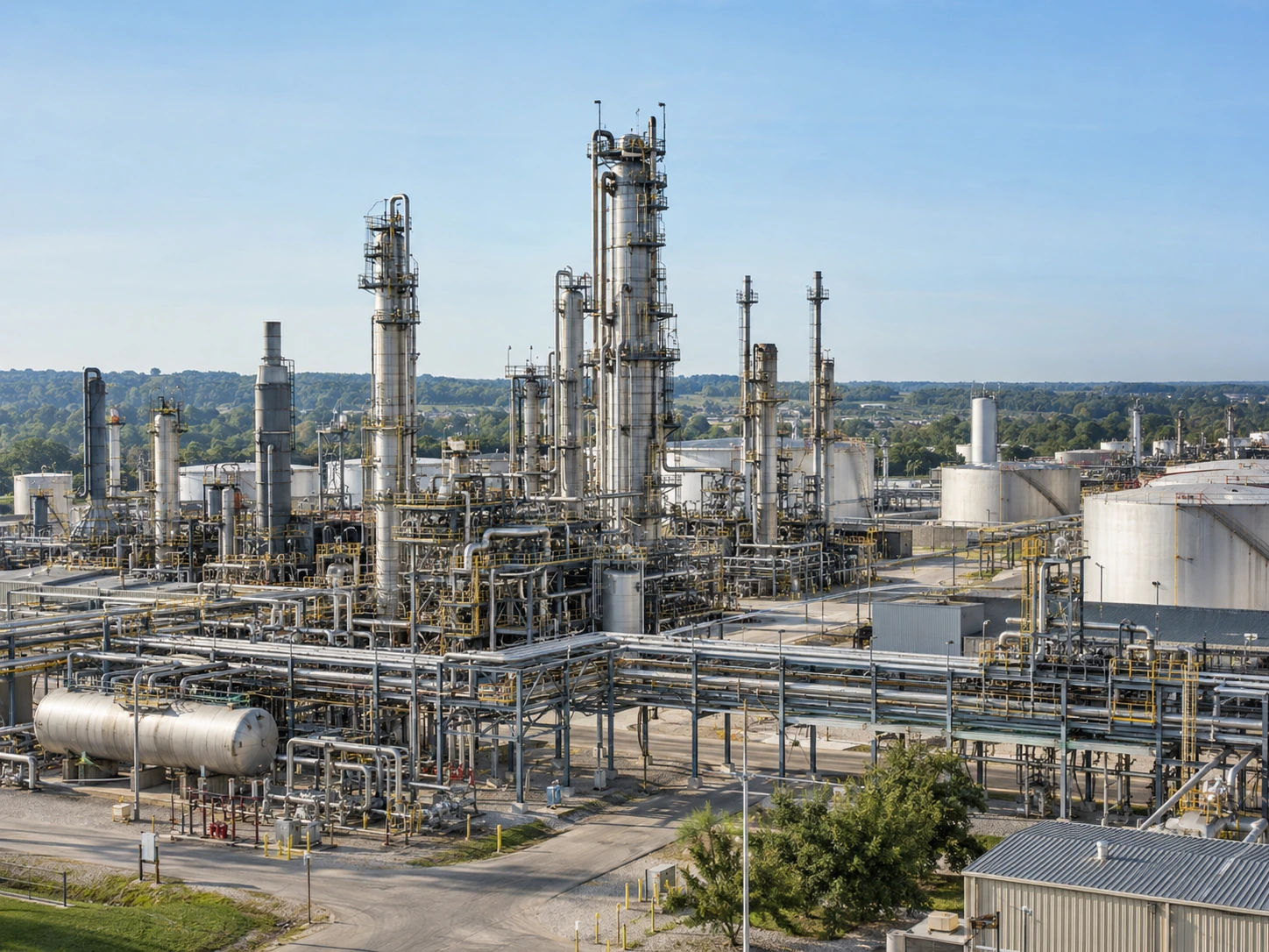
De-risking high-consequence energy assets with millimeter-accurate digital twins.
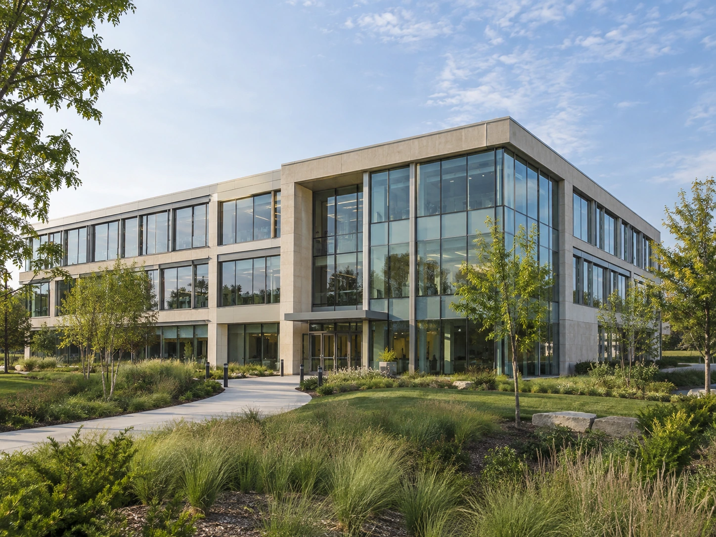
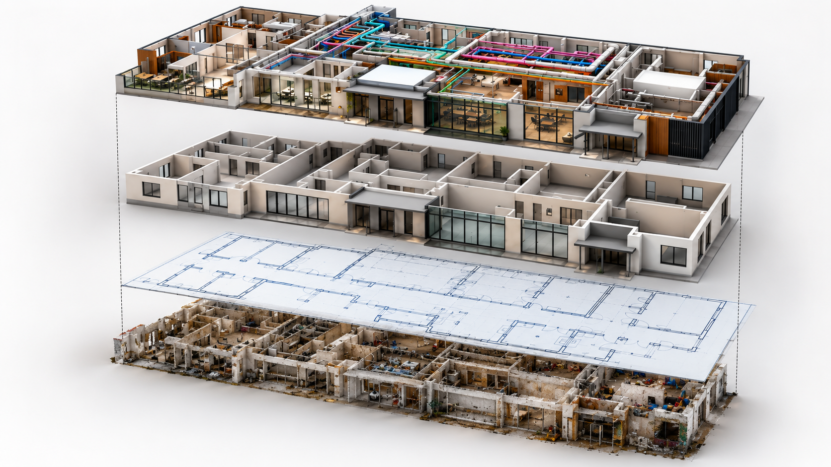
Building without surprises: zero-clash BIM coordination and as-built fidelity.
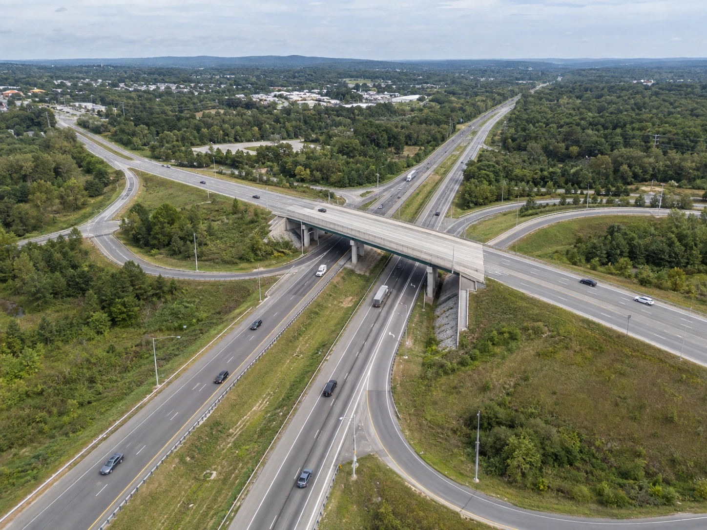
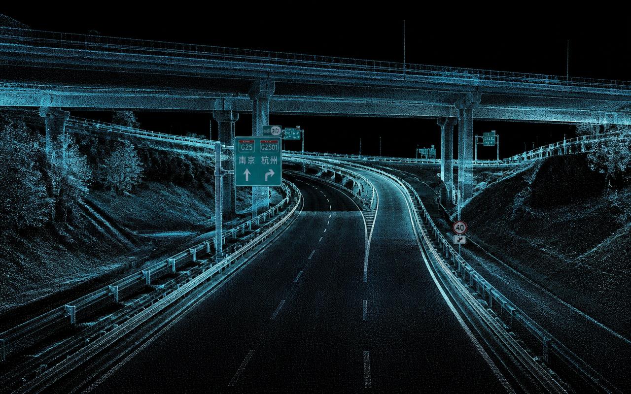
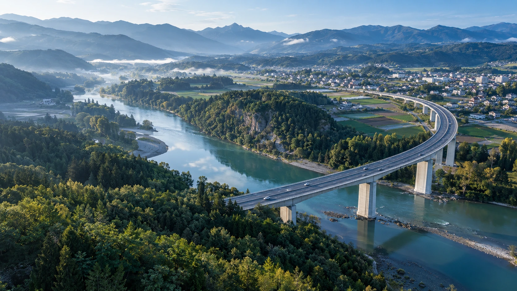
Engineering mobility at scale: corridor intelligence across road, rail, and air.
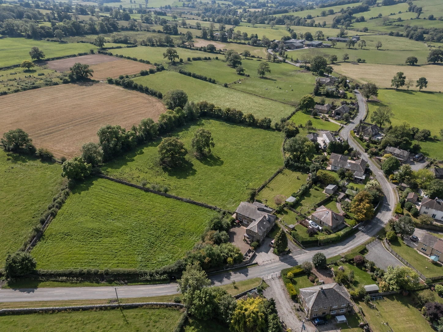
Transforming vast landscapes into undisputed cadastral clarity and boundary certainty.
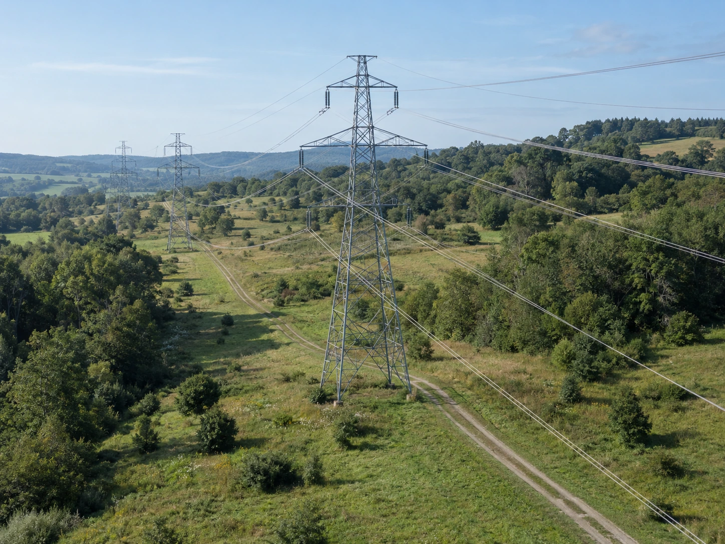
Powering grid resilience: catenary sag modeling, clearance analytics, and asset defense.
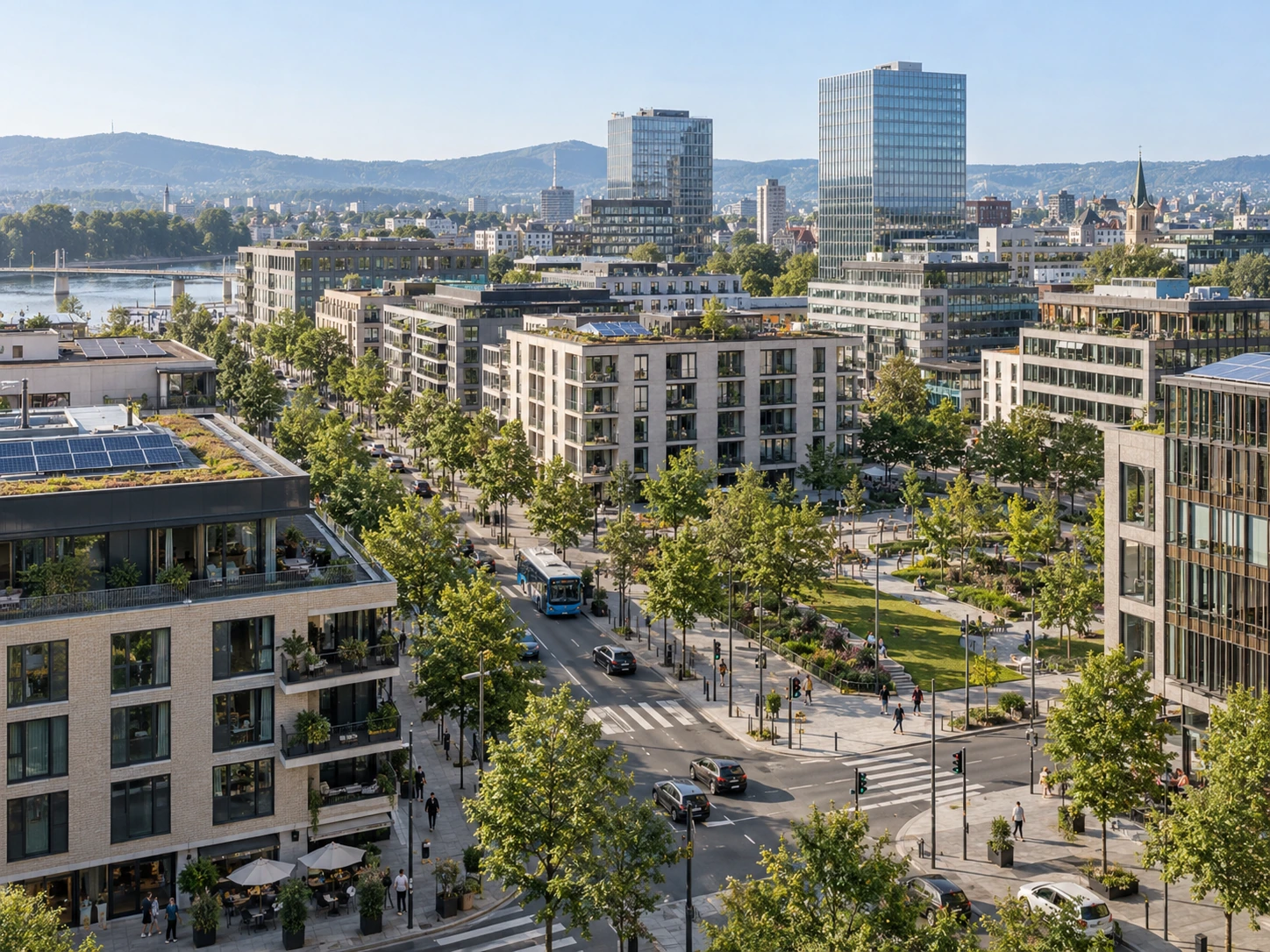
Simulating tomorrow’s urban pulse with living 3D digital twins and CityGML models.
Expertise at Scale
Processing LiDAR, imagery and infrastructure datainto accurate models, maps and intelligence at scale.
Terrain & elevation
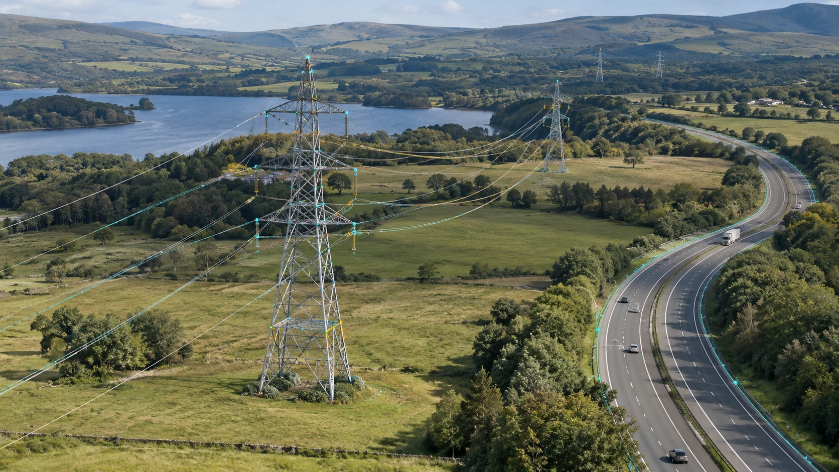
Networks & corridors
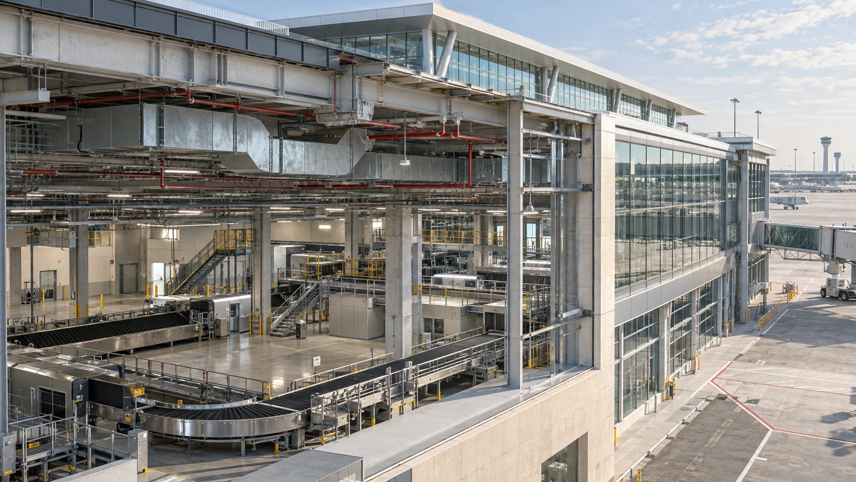
Built environments
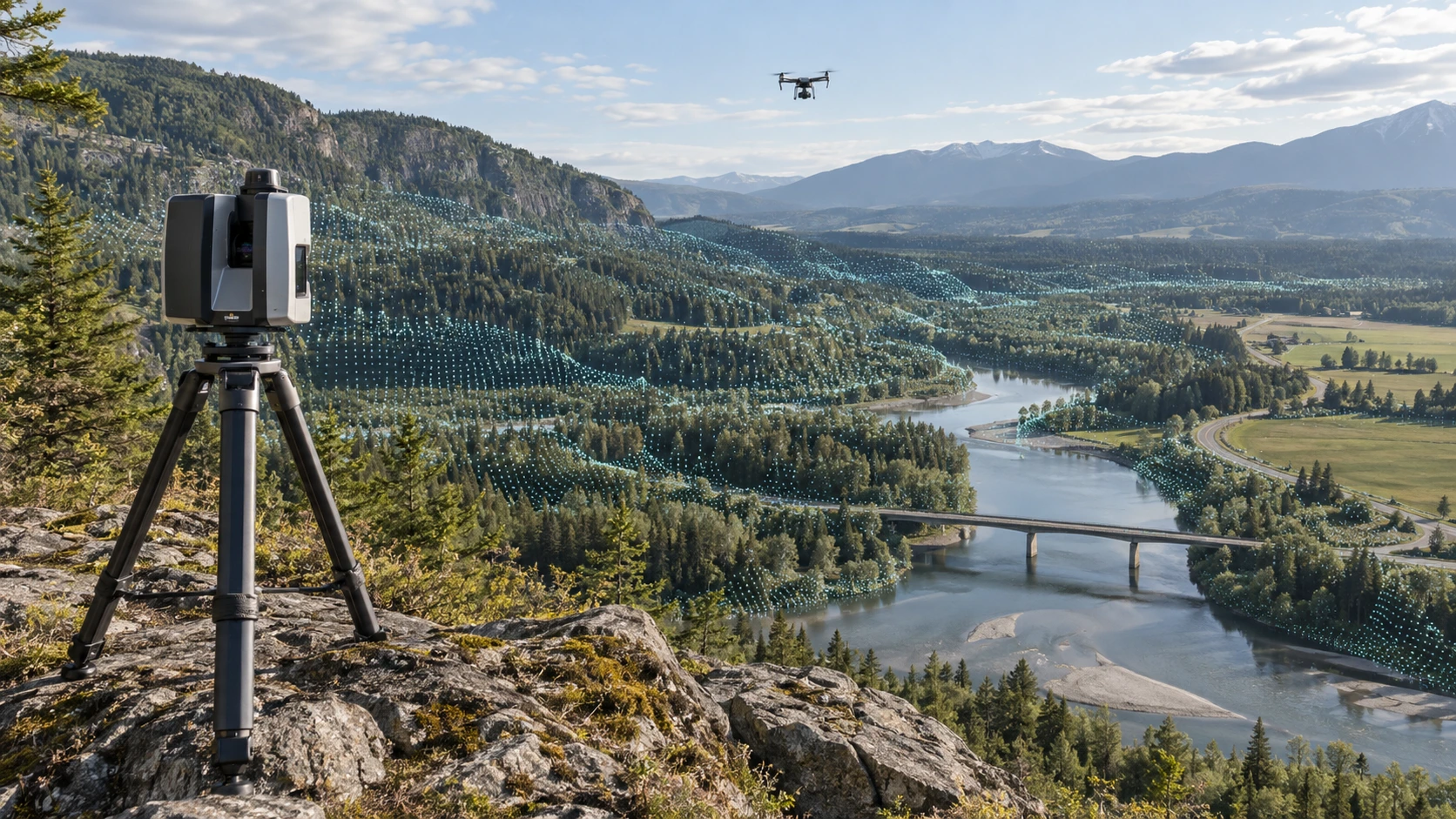
Imagery & photogrammetry
VMAPStech in numbers
Reliable LiDAR, BIM and geospatial solutions tailored to your project. We deliver accurate maps and detailed models to help you plan, build and manage with confidence.


Tell us what you need to process, classify or model. Our team will scope a response within 24 hours.