
Aerial LiDAR Processing
High-density point cloud classification and topographic mapping from client-supplied aerial LiDAR data.
Explore what we deliver
What we do
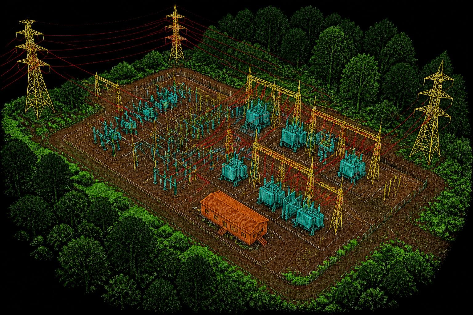
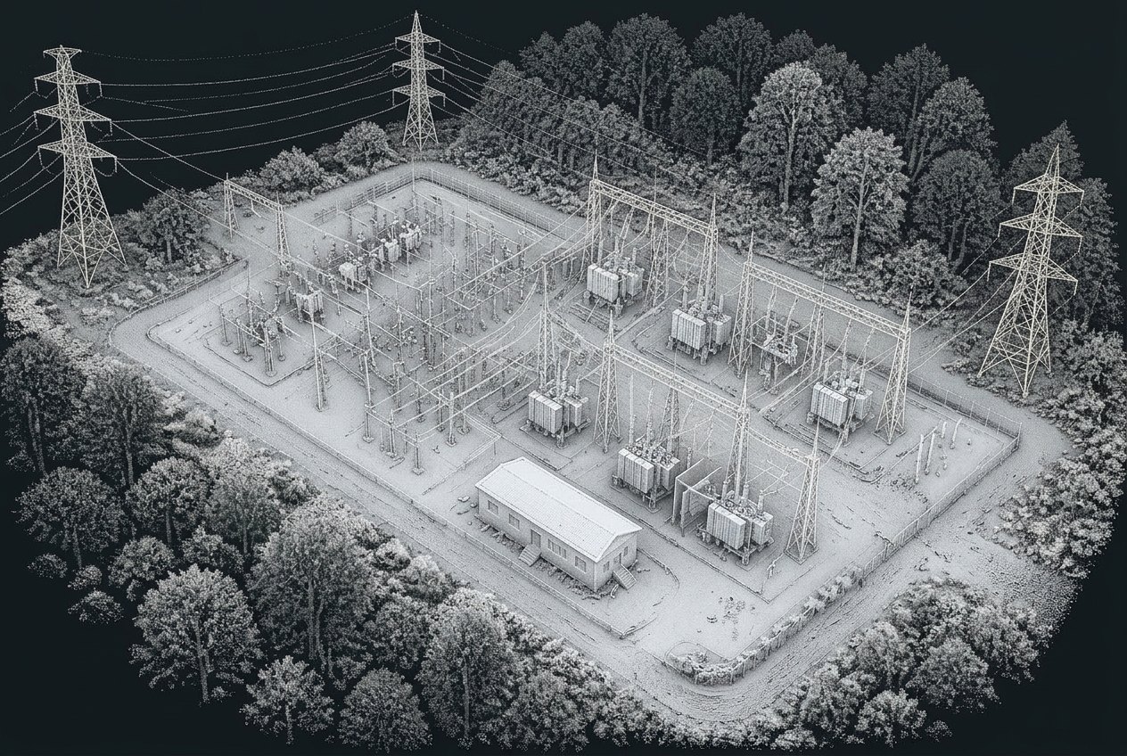

- Raw point cloudClassified01/03
Powerline Mapping & Analysis
Airborne LiDAR classified into conductors, structures and vegetation, then modelled span-by-span for engineering use. We deliver sag & clearance analytics against NESC / IEC codes and PLS-CADD-ready datasets for transmission and distribution networks worldwide.
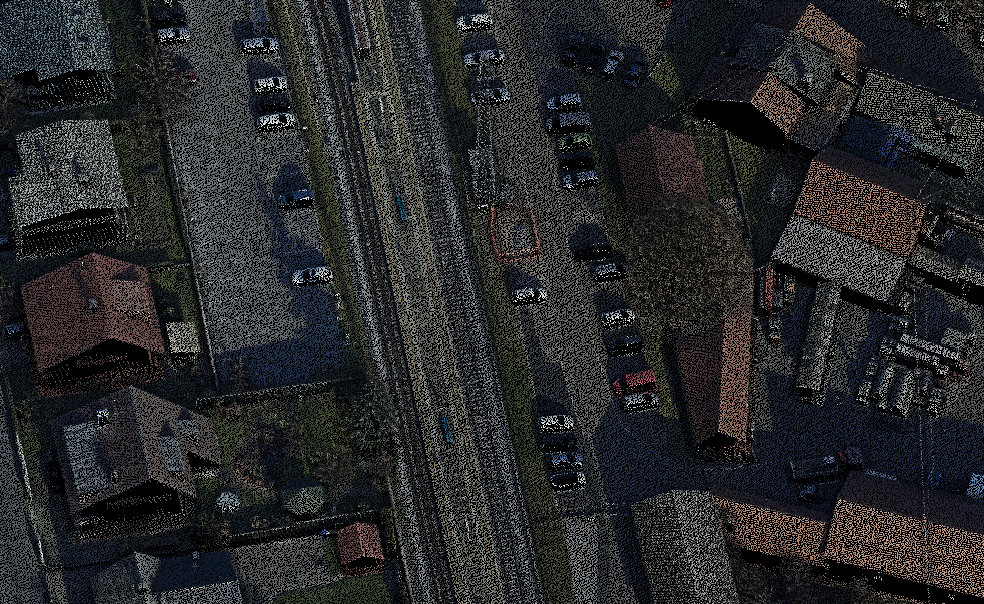
 Raw point cloudClassified02/03
Bare Earth Classification & Above-Ground Features
Continental-scale classification of ground, low/medium/high vegetation, buildings, bridges and hydrology from client-supplied raw LiDAR. Every dataset ships with a documented QA trail so downstream engineering, hydrology and design teams can trust the surface underneath their models.
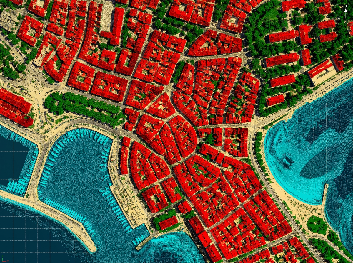
 BeforeAfter03/03
3D Feature Extraction & Modelling
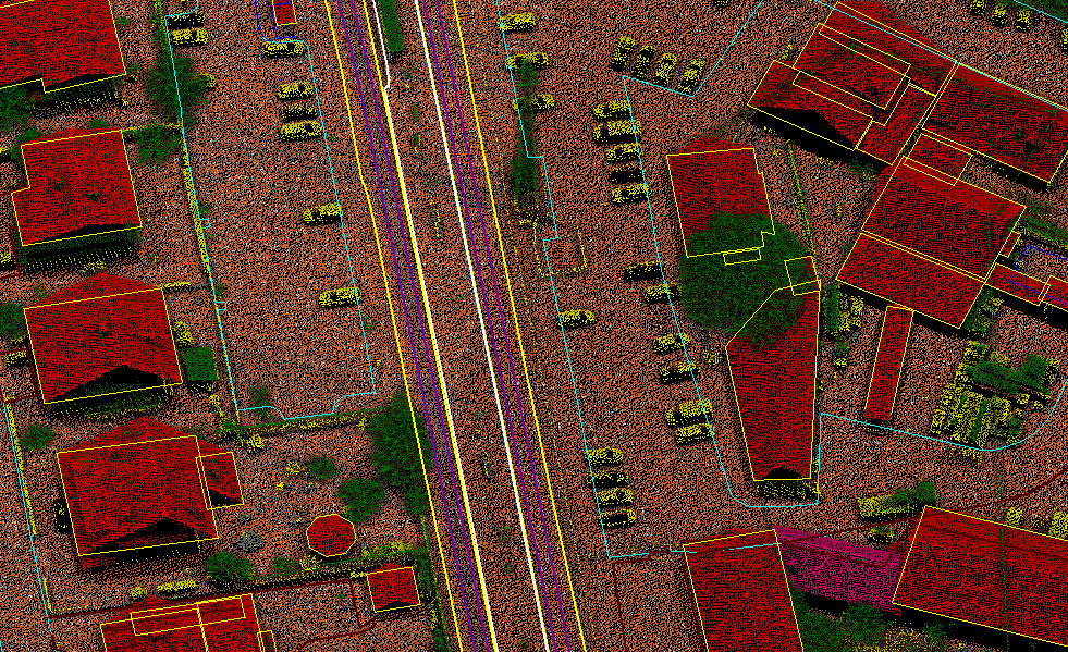
Vectorized planimetrics, breaklines and CityGML LOD1 / LOD2 building models built directly from client-supplied aerial LiDAR. The output is a decision-ready 3D basemap for smart-city, telecom RF and digital-twin programmes rather than a static drawing.
We process client-supplied aerial LiDAR data into accurate basic and advanced classifications, topographic maps, digital elevation models, and corridor analytics. Our portfolio spans large landscapes, urban cities, power corridors, railways, coastlines, pipelines, mining regions and utility infrastructure across multiple continents.
- Powerline mapping & analysis — sag analysis, stringing & attachment mapping
- Bare earth classification & above-ground features (buildings, vegetation, bridges)
- 3D feature extraction & modelling