
Mobile LiDAR Processing
Accurate asset mapping from LiDAR, mobile mapping, aerial, UAV, and orthophoto data, delivering structured GIS and CAD-ready datasets for infrastructure, urban, utility, and land applications.
Explore what we deliver
What we do
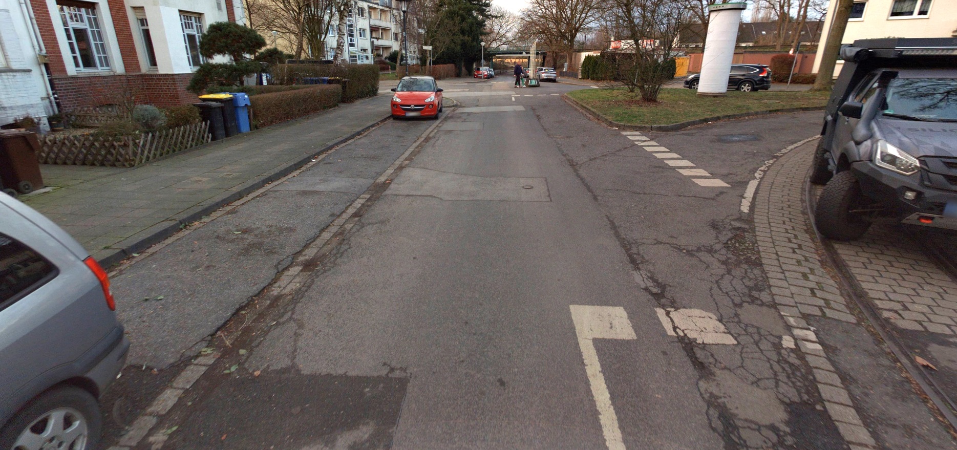
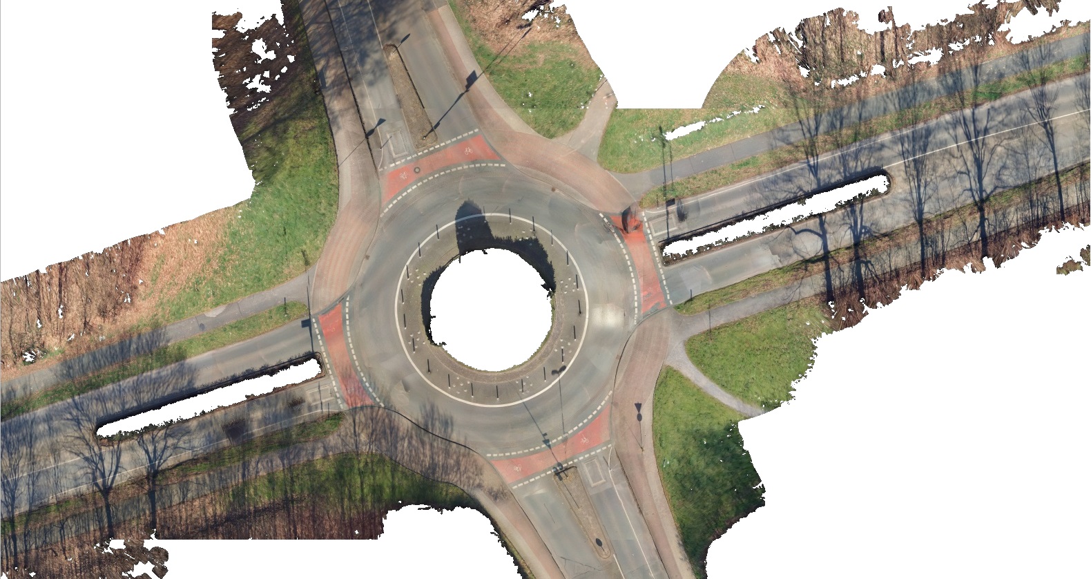
- BeforeAfter01/05
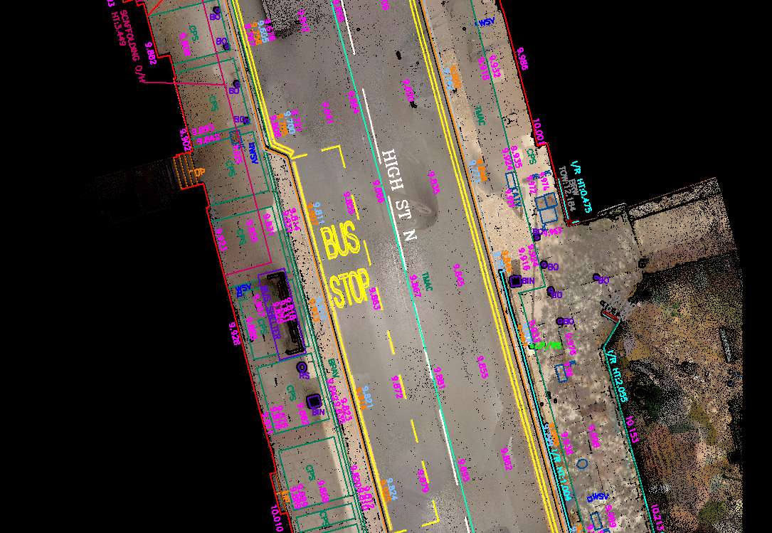
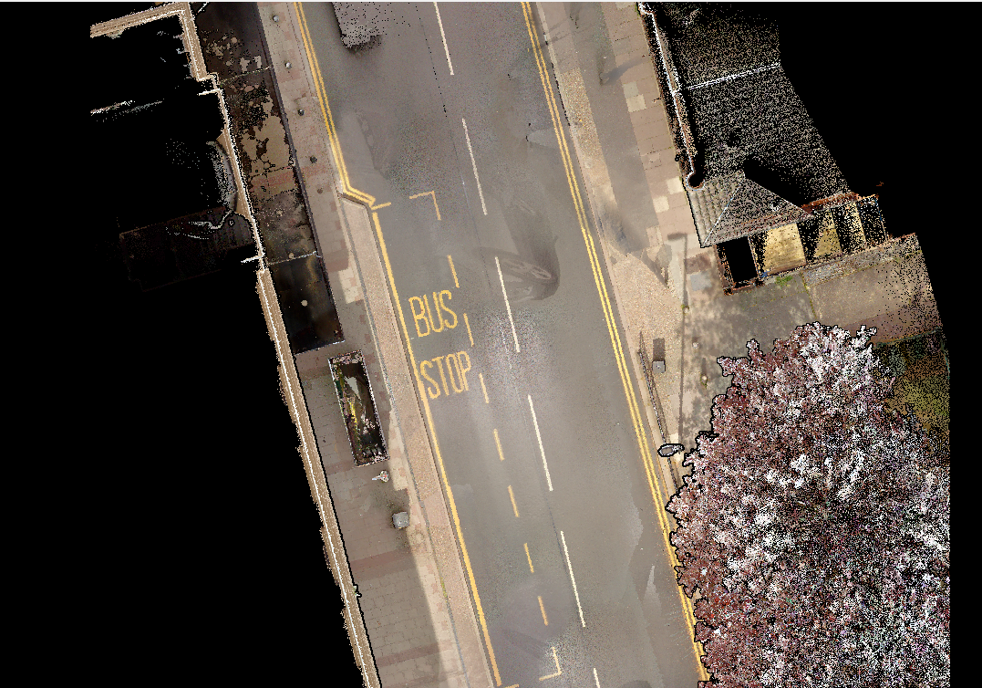
Road Corridor Mapping
VMAPStech transforms mobile LiDAR data into accurate 2D and 3D road corridor maps, capturing roadway geometry and critical roadside features such as lane markings, signage, traffic signals, barriers, and utilities. Our mapping solutions support road widening, resurfacing, rehabilitation, new construction, and infrastructure planning with engineering-ready geospatial data.
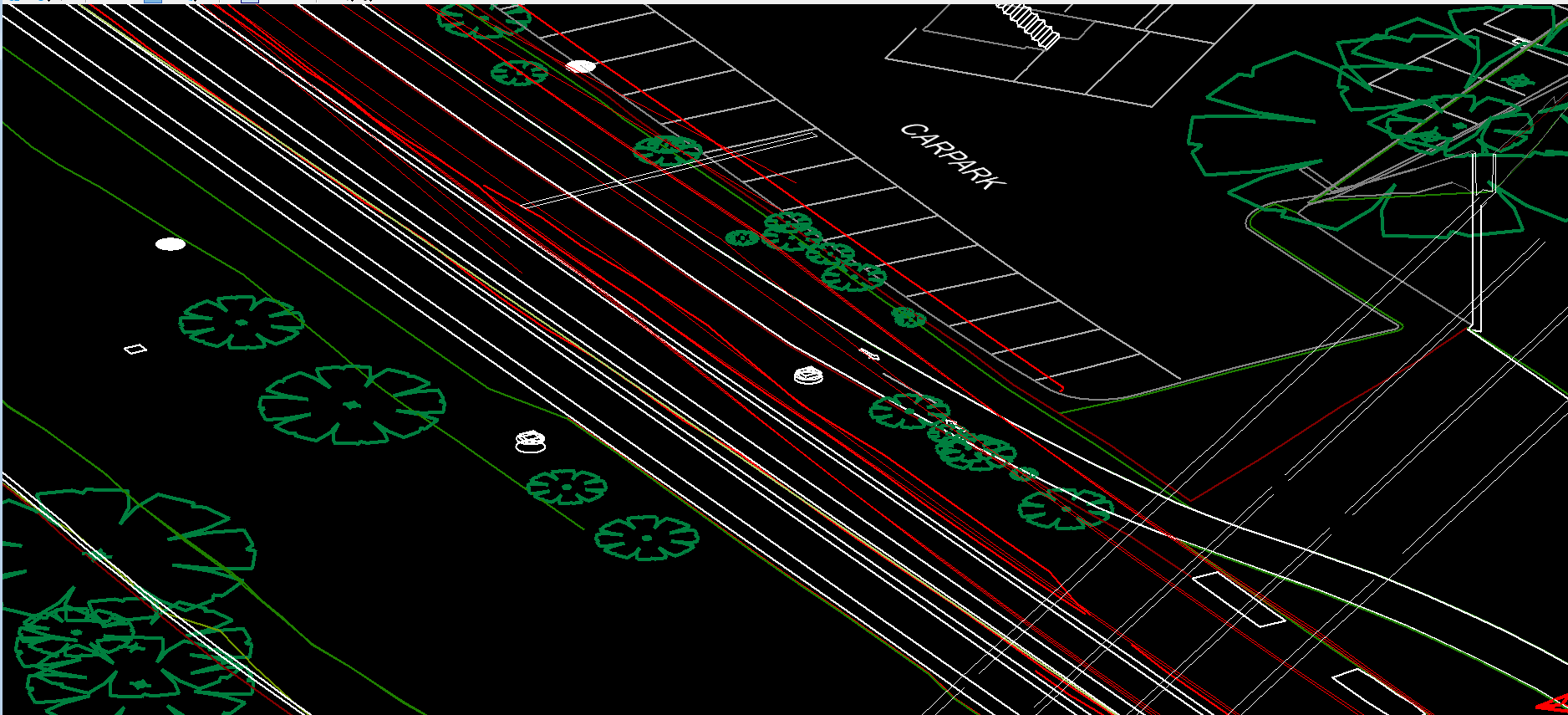 BeforeAfter02/05
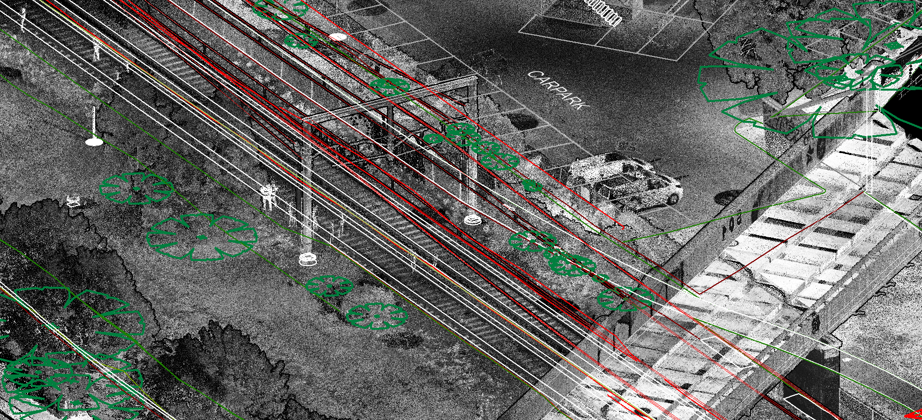
Railway Corridor Mapping
VMAPStech transforms mobile LiDAR data into accurate 2D and 3D railway corridor maps, capturing tracks, platforms, signals, utilities, structures, and surrounding infrastructure. Our workflows support track upgrades, clearance assessment, asset documentation, maintenance planning, and railway infrastructure development. Deliverables are provided in CAD, GIS, 3D, and point-cloud formats, ready for engineering and asset management workflows.
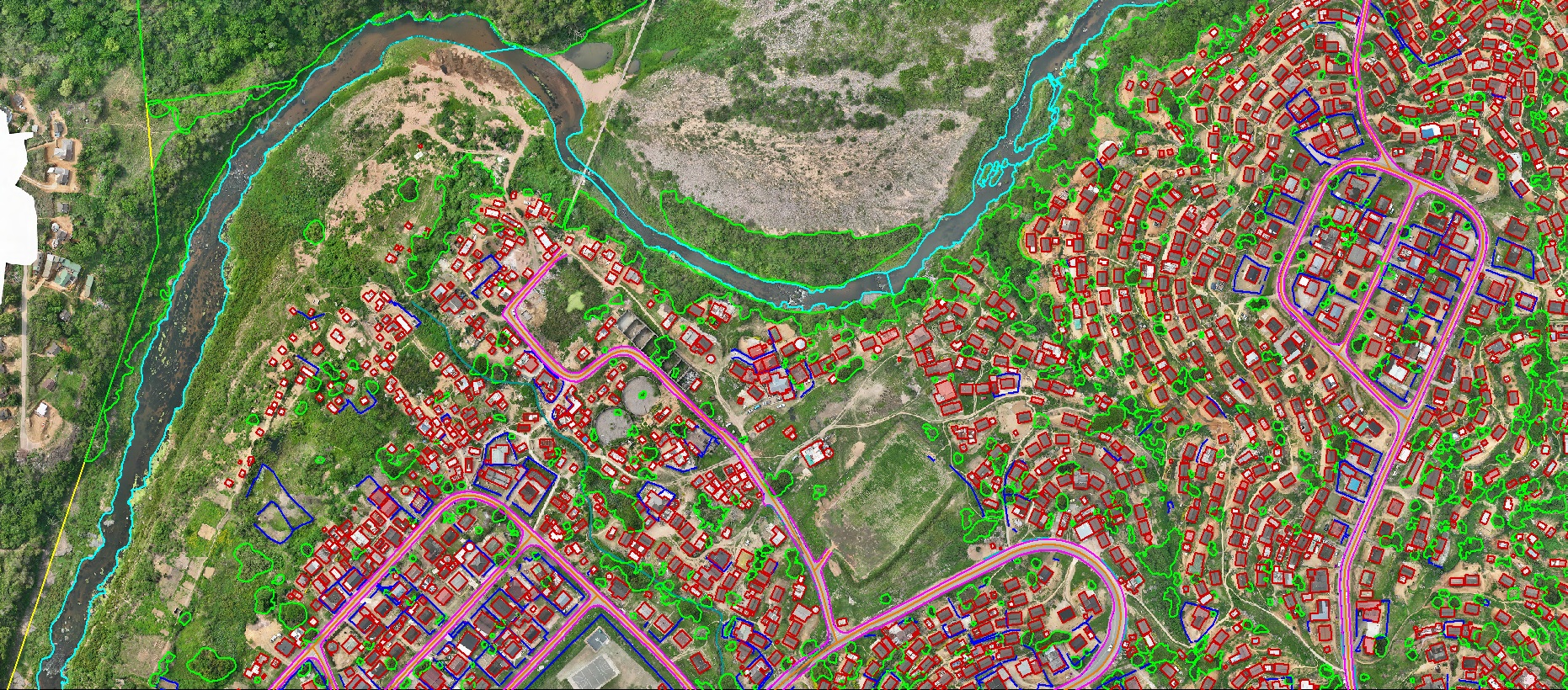 BeforeAfter03/05
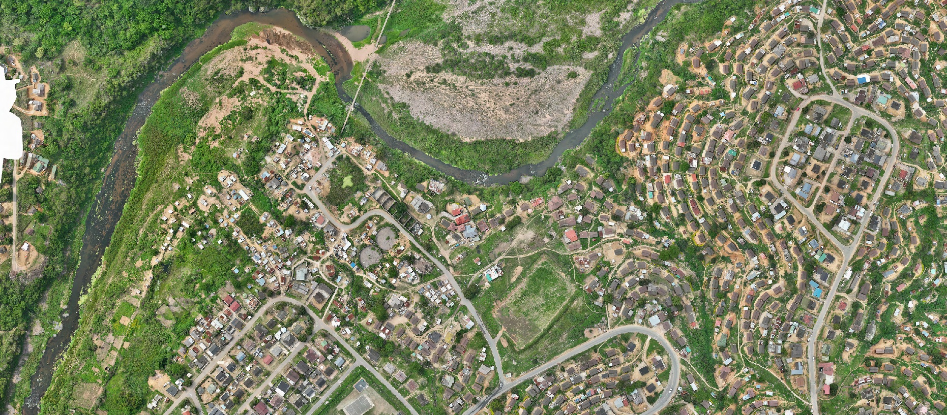
Asset Mapping
Accurate asset mapping from LiDAR, mobile mapping, aerial, UAV, and orthophoto data, delivering structured GIS and CAD-ready datasets for infrastructure, urban, utility, and land applications.
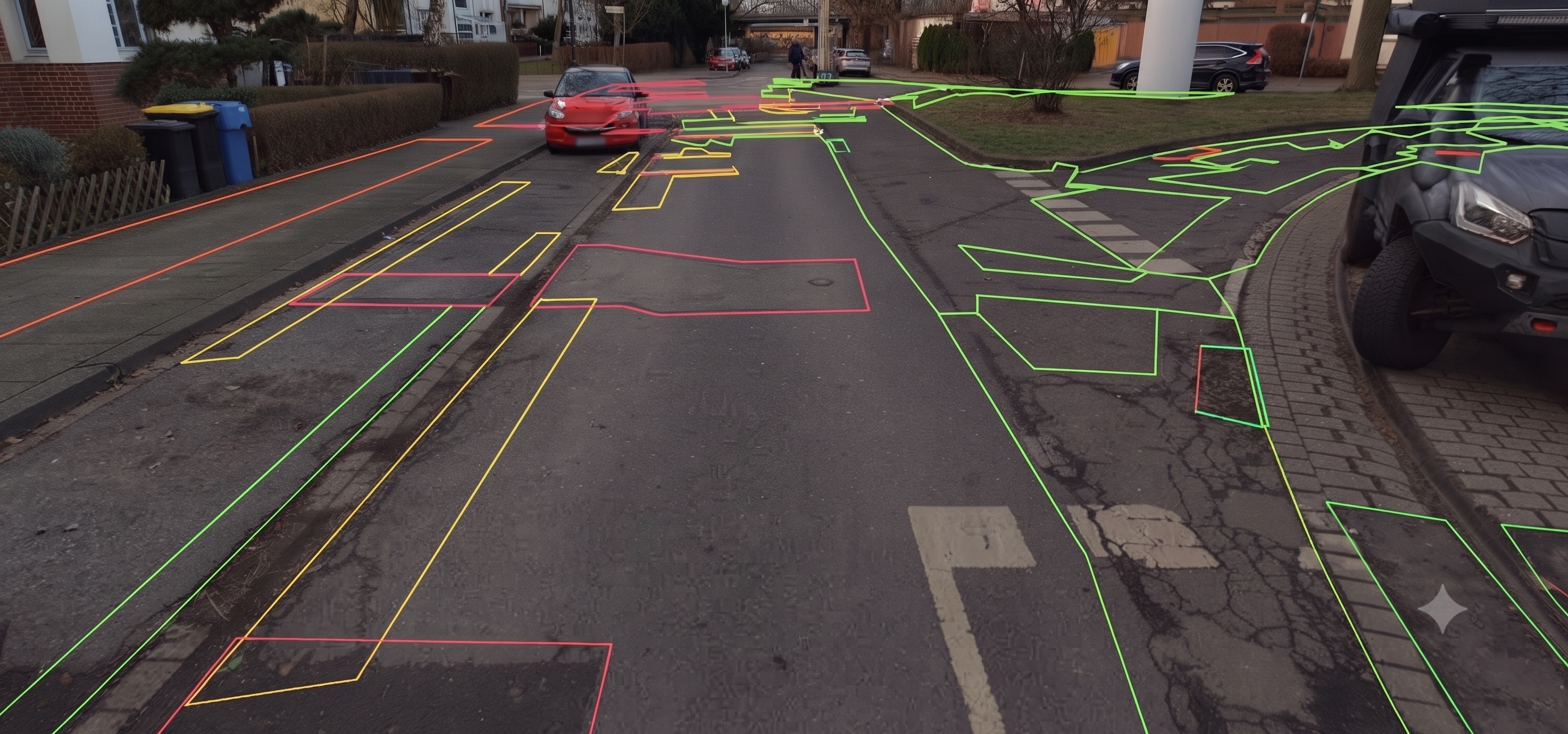 Raw pavement dataDamage detection04/05
Road Damage Mapping
Detect, classify, and georeference road defects—including cracks, potholes, rutting, depressions, and surface irregularities—with severity and condition attributes to support PCI assessment, maintenance prioritization, and long-term road health monitoring.
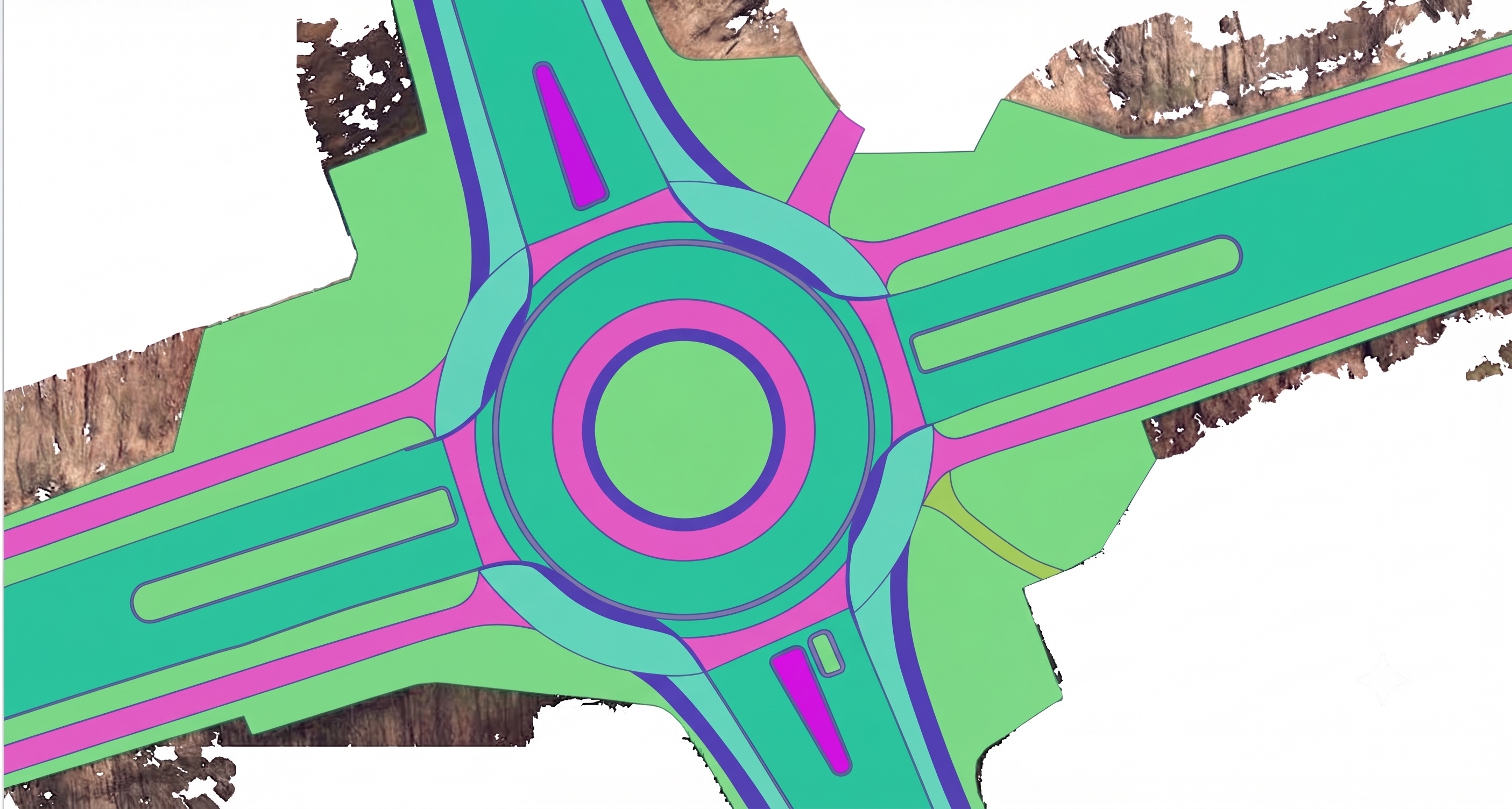 BeforeAfter05/05
Road Area Mapping
Comprehensive mapping of carriageways, shoulders, medians, pedestrian and bicycle pathways, with detailed geometry for intersections, service lanes, and parking areas. The resulting data supports engineering design, traffic simulation, infrastructure upgrades, and precise area calculations for resurfacing and reconstruction cost estimation.
We process client-supplied mobile LiDAR data for roadway, corridor and asset mapping. Our team delivers georeferenced digital inventories of road furniture, utility assets and structural elements supporting maintenance, planning and design workflows.
- Roadway and corridor mapping for new construction & resurfacing
- Georeferenced inventory of road furniture, signage, lane markings, guardrails
- Utility assets — poles, power lines, cabinets, pipelines, hydrants
- Structural assets — bridges, tunnels, culverts, retaining walls, sound barriers
- Vegetation encroachment monitoring along rail and road corridors