
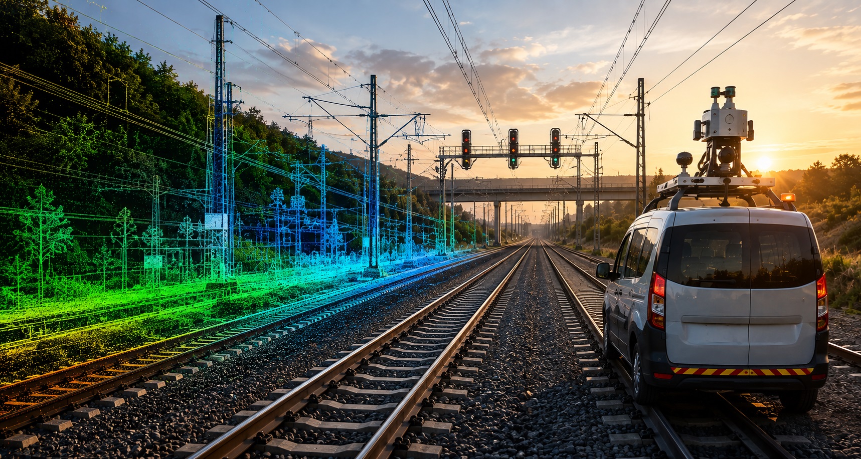
Railway Corridor Mapping
High-accuracy mobile LiDAR mapping of railway corridors, track infrastructure, and surrounding assets for engineering, maintenance, safety, and corridor planning.
Detailed railway corridor mapping from mobile LiDAR
VMAPStech processes mobile LiDAR data to create accurate digital representations of railway corridors, capturing track geometry and critical infrastructure in a single coordinated workflow.
Our mapping covers rail tracks, platforms, signals, power lines, tunnels, utilities, structures, vegetation, and right-of-way features, supporting track upgrades, safety assessment, maintenance planning, and railway infrastructure development.
All project samples are shared with client permission. We treat every dataset as confidential and never disclose client data.
Want to explore further? Get in touch or schedule a meeting to help build trust.
- 01Track & Platform Digitization
Digitize rail tracks, track edges, platforms, and associated corridor features from LiDAR data.
- 02Corridor Feature Mapping
Map break lines, signals, power lines, tunnels, and other critical railway infrastructure.
- 03Utility Mapping
Identify and map utility features along the railway corridor with accurate spatial positioning.
- 04Clearance & Encroachment Analysis
Identify potential clearance issues, trackside obstructions, and vegetation encroachment within the corridor.
- 05Engineering & Maintenance Support
Deliver structured mapping data to support track upgrades, safety compliance, maintenance planning, and infrastructure development.
- Railway mapping for infrastructure & operations
- Track & corridor mapping
- Railway asset inventory
- Clearance & encroachment assessment
- Tunnel & structure mapping
- Track upgrade & rehabilitation
- Station & platform mapping
- Maintenance & infrastructure planning
- GIS & asset management
- Structured outputs for railway engineering workflows
- Railway Corridor Mapping — 2D / 3D
- Classified Point Clouds — LAS / LAZ
- Track & Corridor Feature Layers
- Railway Asset Inventory — GIS
- Engineering Drawings — DWG / DGN
- Tunnel, Structure & Clearance Data
- Georeferenced Panoramic Imagery
- QA/QC & Completeness Report
Experienced in processing high-density Mobile LiDAR data for complex railway corridors and infrastructure.
Precisely extract tracks, platforms, signals, utilities, structures, break lines, and other corridor features.
Create coordinated 2D and 3D datasets with consistent geometry across extensive railway corridors.
Deliver engineering and mapping outputs in practical CAD, GIS, and point-cloud formats for direct project use.
Identify potential clearance issues, trackside obstructions, and vegetation encroachment to support safety assessments.
Apply structured quality checks and scalable processing workflows for projects ranging from local corridors to extensive railway networks.
Build a complete digital view of your railway corridor
From track mapping and asset inventory to clearance assessment, structure mapping, and infrastructure planning, VMAPStech transforms mobile LiDAR data into reliable, engineering-ready railway datasets.
Discuss a project