
Road Area Mapping
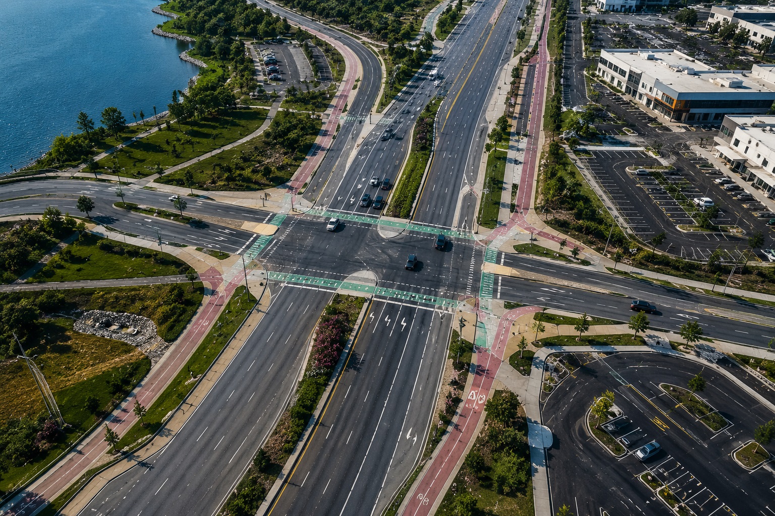
Comprehensive mapping of road corridors, carriageways, shoulders, medians, pathways, intersections, service lanes, and parking areas for engineering and infrastructure planning.
Complete Road Area Mapping for Engineering & Infrastructure Projects
VMAPStech provides detailed mapping of road areas beyond the main carriageway, creating a comprehensive spatial representation of the transportation environment.
Our workflows cover full carriageways, shoulders, medians, pedestrian pathways, bicycle pathways, intersections, service lanes, and parking areas, with detailed geometry suitable for engineering and infrastructure applications.
Accurate area measurements can be derived from the mapped datasets to support resurfacing, reconstruction, quantity estimation, and project cost planning.
All project samples are shared with client permission. We treat every dataset as confidential and never disclose client data.
Want to explore further? Get in touch or schedule a meeting to help build trust.
- 01Road Area MappingMap full carriageways, shoulders, medians, pedestrian pathways, and bicycle pathways to create a complete representation of the road area.
- 02Detailed Geometry CaptureCapture accurate geometry for intersections, service lanes, parking areas, and connecting road sections.
- 03Engineering & Infrastructure SupportStructure the mapped data to support engineering design, traffic simulation, and infrastructure upgrade projects.
- 04Area CalculationCalculate precise mapped areas to support resurfacing quantities, reconstruction planning, and cost estimation.
- Road engineering and design
- Road widening and infrastructure upgrades
- Resurfacing planning
- Reconstruction planning
- Traffic simulation
- Intersection improvement
- Pedestrian pathway planning
- Bicycle pathway planning
- Parking area assessment
- Transportation infrastructure documentation
- Quantity and cost estimation
- GIS & ENGINEERING-READY OUTPUTS
- Road Area Mapping — 2D / 3D
- Carriageway & Roadway Geometry
- Shoulder & Median Mapping
- Pedestrian & Bicycle Pathway Layers
- Intersection & Service Lane Mapping
- Parking Area Mapping
- Georeferenced Spatial Datasets
- Area Calculation Data
- Engineering-Compatible Mapping Outputs
- QA/QC & Completeness Report
Map the complete road environment rather than limiting the dataset to the primary carriageway.
Capture road areas, pathways, intersections, service lanes, parking areas, shoulders, and medians with structured geometry.
Develop datasets specifically structured to support engineering design, traffic simulation, and infrastructure upgrades.
Provide mapped spatial areas that can be used as an input for resurfacing and reconstruction cost estimation.
Support both conventional 2D mapping and detailed 3D road-area representation.
Apply consistent processing workflows across individual road sections and larger transportation mapping programmes.
Turn Roadway Data Into Measurable Infrastructure Intelligence
From complete carriageways and shoulders to pathways, intersections, service lanes, and parking areas, VMAPStech transforms mobile LiDAR data into detailed road-area mapping datasets for engineering design, traffic simulation, infrastructure upgrades, and cost estimation.
Discuss a project