
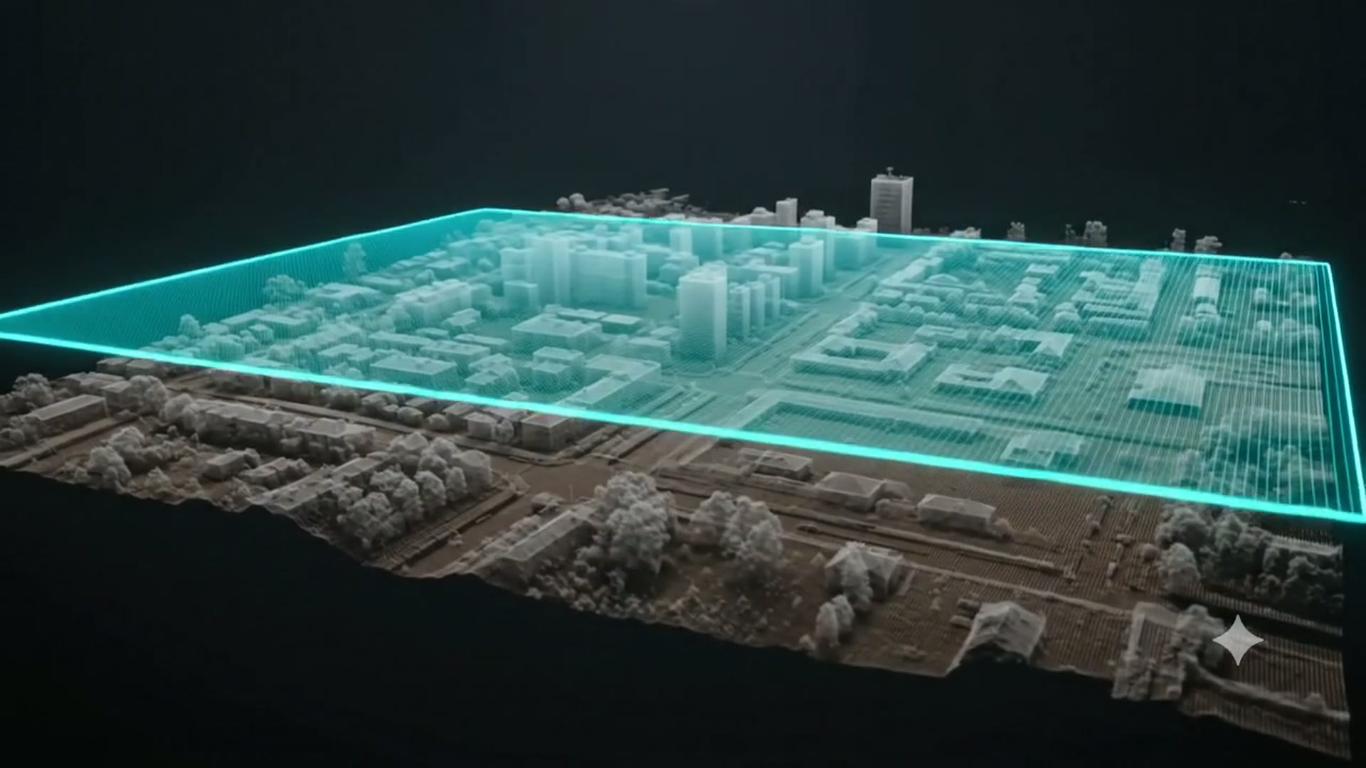
Bare Earth Classification & Above-Ground Features
Continental-scale classification of ground, vegetation, buildings and infrastructure from raw aerial LiDAR — engineered for trusted terrain and feature models.
Clients supply the raw aerial LiDAR — we handle the classification, terrain modelling and feature extraction. From wide-area terrain to dense urban corridors, every point is labelled so engineering, environmental and design teams can build on a trusted surface.
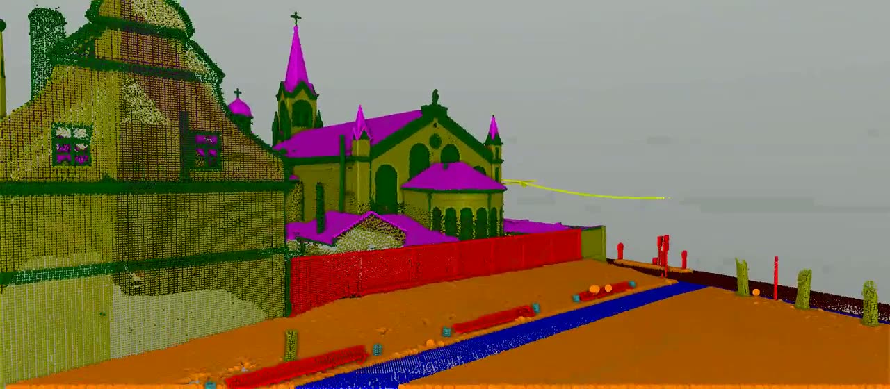
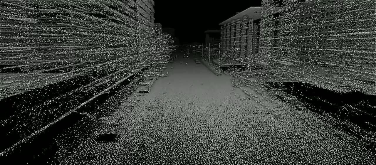
Classified aerial LiDAR flythrough over dense urban fabric — ground, buildings and vegetation separated from the client-supplied cloud.
All project samples are shared with client permission. We treat every dataset as confidential and never disclose client data.
Want to explore further? Get in touch or schedule a meeting to help build trust.
- 01Data intake & validation
We receive the client's aerial LiDAR (LAS/LAZ) alongside trajectory and control data, then validate coverage, tile alignment, CRS and vertical datum before any processing begins.
- 02Bare-earth extraction
Advanced ground-classification routines tuned to terrain slope, vegetation density and surface roughness. The result is a clean, hydrologically consistent bare-earth model ready for contouring and engineering design.
- 03Above-ground feature classification
Vegetation, buildings, bridges, powerlines, culverts and other structures are classified into standard schemas. Each class is validated against imagery and manual QC samples before it reaches the client.
- 04Breakline & terrain refinement
Key terrain discontinuities — roads, curbs, water bodies, ridge lines and embankments — are digitized as breaklines and integrated into the ground surface so models match real-world drainage and grade.
- 05QA/QC & delivery
Automated consistency checks, statistical reporting and manual spot-review against stereo imagery. Deliverables are packaged in the client's preferred formats with full lineage and accuracy metadata.
- Flood modelling and hydrology design
- Transportation and corridor engineering
- Mining and quarry volumetric surveys
- Urban planning and 3D city basemaps
- Forestry and vegetation management
- Classified point cloud (.LAS / .LAZ) with ground / non-ground schema
- Bare-earth DEM / DTM and digital surface model (DSM)
- Contour lines at specified intervals and vertical datum
- Above-ground feature layers — buildings, vegetation, infrastructure
- Breaklines and terrain discontinuity vectors
- Accuracy report and QA metadata