
UAV Mapping & Image Processing Services
Survey-grade UAV data processing for accurate mapping, terrain modelling, and infrastructure applications.
Turn UAV imagery into accurate geospatial data
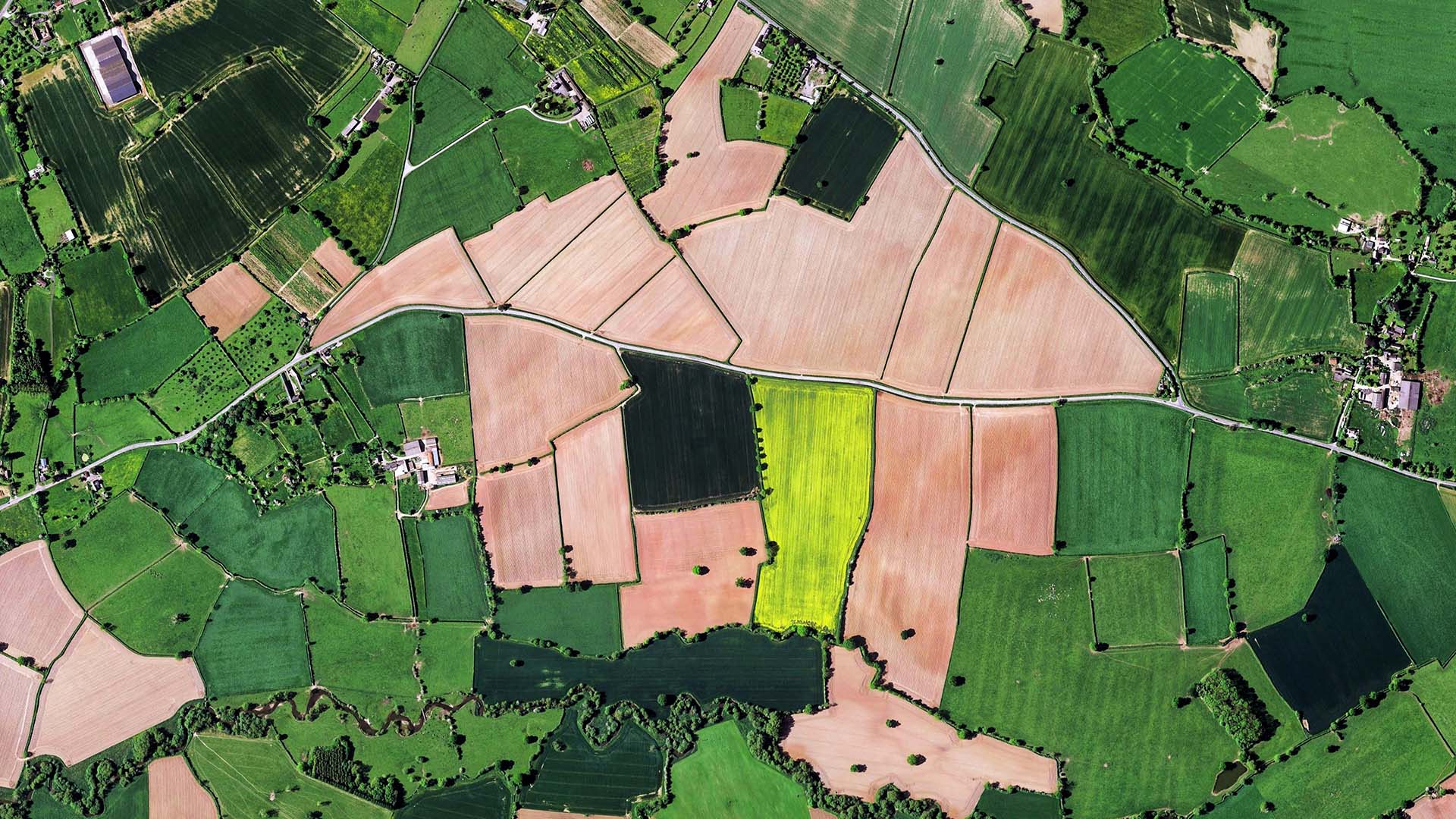
UAV imagery provides detailed coverage of sites, corridors, and project areas. Our role begins after data acquisition, where we process imagery and related datasets into orthophotos, terrain models, surface models, point clouds, contours, and 2D/3D feature mapping.
Our workflows are designed to produce consistent outputs for urban mapping, transportation corridors, construction and infrastructure projects, mining and industrial sites, and environmental applications.
All project samples are shared with client permission. We treat every dataset as confidential and never disclose client data.
Want to explore further? Get in touch or schedule a meeting to help build trust.
- 01Data Preparation
Review incoming UAV imagery, project specifications, coordinate information, and required outputs.
The processing workflow is aligned with the project's survey-grade mapping requirements and intended applications.
- 02UAV Image Processing
Process aerial imagery and associated project data to create the foundation for downstream photogrammetric products and mapping.
- 03Terrain, Surface & Point Cloud Generation
Digital Terrain Models · Digital Surface Models · Point Clouds
Point-cloud data can be further processed and classified to support detailed feature extraction and mapping.
- 04Feature Mapping & Contours
Extract 2D and 3D features from the processed UAV data and generate contours at the required intervals for design and planning applications.
- 05QA & Final Delivery
Review completed outputs and prepare the required datasets in suitable GIS, CAD, imagery, and point-cloud formats for client use.
- Road, rail and utility corridor mapping
- Urban site and infrastructure mapping
- Construction progress and as-built mapping
- Mining site surface and volume analysis
- Industrial site mapping and layout updates
- Land-use and vegetation mapping
- Erosion monitoring and environmental assessment
- Orthophotos — TIFF / TFW / GeoTIFF
- DTM / DSM — ASC / GeoTIFF / LAS
- Classified Point Clouds — LAS / LAZ
- Contours — DWG / DGN
- 2D / 3D Feature Mapping — DXF / SHP
- GIS / CAD-ready spatial datasets
Work with UAV imagery supplied directly by clients or survey partners.
Produce accurate datasets suitable for planning, engineering, and asset-management applications.
Generate orthophotos, DTM/DSM, point clouds, contours, and 2D/3D mapping from UAV data.
Support transportation, urban, construction, mining, industrial, and environmental applications.
Combine image processing, terrain modelling, point-cloud processing, and feature extraction within a structured workflow.
No field acquisition requirement—our focus is advanced processing, mapping, and final data production.
Turn your UAV data into accurate geospatial intelligence
Transform client- or survey-partner-acquired UAV imagery into orthophotos, terrain models, point clouds, contours, and detailed 2D/3D mapping ready for planning and engineering workflows.
Discuss a project