
3D City Modelling Services
LOD 100 – LOD 350 | Transform aerial imagery into accurate, structured 3D city models for urban planning, infrastructure, visualization, and digital twin applications.
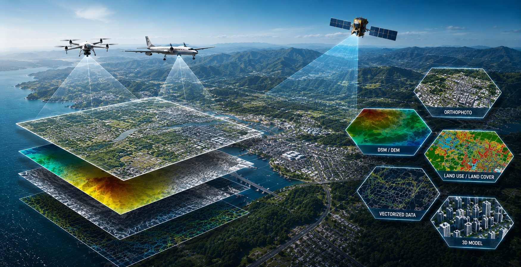
From aerial imagery to a complete 3D urban environment
Aerial imagery provides a scalable foundation for creating detailed 3D representations of buildings and urban areas.
VMAPStech applies photogrammetric processing and 3D reconstruction workflows to derive building footprints, heights, roof forms, façades, textures, and other urban features from overlapping aerial imagery.
Depending on the project requirement, models can be developed from generalized building massing to detailed 3D representations, providing an adaptable solution for different stages of urban planning and development.
All project samples are shared with client permission. We treat every dataset as confidential and never disclose client data.
Want to explore further? Get in touch or schedule a meeting to help build trust.
- 01Aerial Imagery Preparation
Review aerial imagery, project coverage, overlap, coordinate information, mapping specifications, and required Level of Detail.
The workflow is configured according to the project's 3D modelling requirements and intended application.
- 02Photogrammetric Processing
Process overlapping aerial imagery to establish the spatial relationships required for accurate 3D reconstruction.
Image orientation and photogrammetric processing provide the foundation for subsequent terrain, building, and urban feature modelling.
- 03Building & Terrain Reconstruction
Generate 3D information from the processed imagery, including:
Building footprints · Building heights · Roof structures · Terrain · Urban features
The level of geometric detail is developed according to the selected LOD specification.
- 04LOD Development & Texturing
Develop models from LOD 100 through LOD 350, incorporating progressively greater levels of geometry and detail.
Where required, imagery-derived textures are applied to enhance the visual representation of buildings and urban environments.
- 05QA/QC & Final Delivery
Review the completed models for geometry, completeness, LOD requirements, spatial consistency, and project specifications before final delivery.
Our 3D city modelling workflows combine complementary geospatial data sources to deliver the coverage, geometric detail, and spatial context required for each project.
Used for citywide topography, building footprints, roof structures, and large-area urban mapping.
Provides detailed street-level façade geometry, architectural features, and high-accuracy elevation information for areas requiring greater detail.
Supports detailed mapping of road corridors, curbs, street furniture, and urban infrastructure within the wider city environment.
Enables high-resolution 3D reconstruction and texturing from overlapping imagery, particularly for detailed local areas and complex or difficult-to-access locations.
Provides large-area geographic context and supporting spatial information for regional-scale urban mapping and modelling.
By combining these datasets within a coordinated processing workflow, VMAPStech can develop consistent 3D city models across different scales and levels of detail, from broad urban massing to detailed building and street-level representations.
- Urban planning and development
- Zoning and development visualization
- Infrastructure planning
- 3D city visualization and simulation
- Smart city and digital twin foundations
- Environmental and disaster planning
- Urban spatial analysis
- LOD 100–LOD 350 3D City Models
- 3D Building & Urban Feature Models
- Textured 3D Models
- GIS-ready 3D Data
- CAD / 3D Model Formats — DWG / DGN / OBJ / FBX / 3DS
- CityGML Data
- LOD-specific Data Packages
Apply established aerial image-processing and photogrammetric workflows to create accurate 3D urban datasets.
Develop city models according to the required LOD 100, LOD 200, LOD 300, or LOD 350 specification.
Support both large-area urban modelling and detailed local-area projects.
Use aerial photography and UAV imagery according to project coverage and required level of detail.
Deliver organized 3D datasets suitable for GIS, CAD, visualization, and spatial applications.
Apply structured quality checks throughout the modelling process to maintain consistency and completeness.
Transform aerial imagery into a 3D view of your city
Turn high-resolution aerial and UAV imagery into structured 3D city models from LOD 100 to LOD 350, ready for urban planning, infrastructure, visualization, GIS, and digital applications.
Discuss a project