
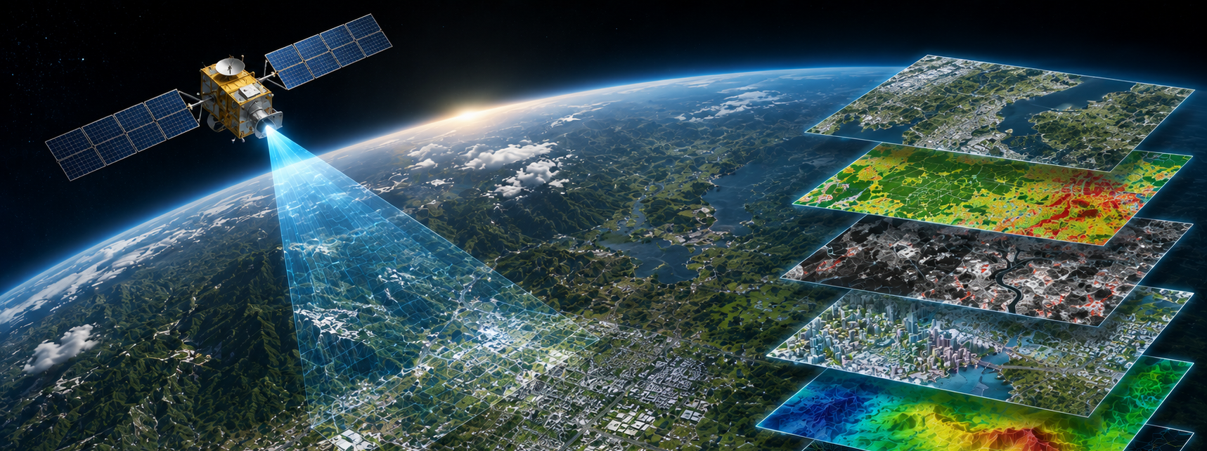
Satellite Image Processing Services
Transform multi-resolution satellite imagery into accurate, analysis-ready geospatial data for urban planning, infrastructure development, environmental monitoring, resource management, and telecommunications.
All project samples are shared with client permission. We treat every dataset as confidential and never disclose client data.
Want to explore further? Get in touch or schedule a meeting to help build trust.
- 01Satellite Data Selection & AssessmentSelect appropriate satellite sources (Sentinel-2, Landsat, high-resolution commercial) based on project requirements, temporal coverage, and spatial resolution.
- 02Radiometric & Geometric CorrectionApply radiometric calibration and geometric rectification to align imagery with project spatial references and ground control.
- 03Image Processing & EnhancementApply spectral analysis, band combinations, and enhancement techniques to extract relevant geospatial information.
- 04Classification & Feature ExtractionApply supervised and automated classification, feature detection, and object extraction according to project specifications.
- 05Accuracy Assessment & ValidationValidate results against ground-truth data, assess per-class accuracy, and generate comprehensive accuracy reports.
- 06Deliverable Preparation & QA/QCPrepare final geospatial datasets in required formats (GeoTIFF, GeoJSON, SHP, GDB) with complete metadata and QA documentation.
- Urban planning and land-use analysis
- Environmental monitoring and conservation
- Infrastructure development planning
- Change detection and damage assessment
- Resource management and mining
- Agricultural monitoring and analysis
- Climate and disaster monitoring
- Telecommunications RF planning
- Classified satellite imagery (GeoTIFF)
- Vector features (SHP, GeoJSON, GDB)
- Land-use/land-cover maps
- Change detection reports
- Digital elevation models (DEM/DSM)
- Accuracy assessment reports
Integrate Sentinel-2, Landsat, and commercial satellite imagery with project-specific requirements.
Perform multi-temporal analysis for change detection, trend analysis, and time-series monitoring.
Apply advanced spectral analysis and band combinations for accurate classification and feature extraction.
Deliver 95%+ accuracy on land-use/land-cover classification with comprehensive validation.
Process satellite data for any geographic location with continuous global coverage.
Handle large-area mapping and continental-scale analysis with consistent quality.
Transform satellite imagery into decision-ready intelligence
Accurate land-use classification, change detection, and feature extraction from satellite data—tailored to your planning, environmental, and infrastructure requirements.
Discuss a project