
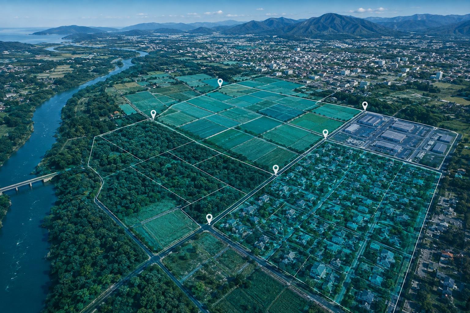
Spatial Adjustment
Accurate spatial correction of roadway assets for reliable GIS and transportation datasets. We refine and relocate roadway asset geometries using GIS data, imagery, video, and project specifications to deliver spatially accurate, specification-compliant mapping data.
All project samples are shared with client permission. We treat every dataset as confidential and never disclose client data.
Want to explore further? Get in touch or schedule a meeting to help build trust.
- 01Data & Specification ReviewWe assess GDB datasets, ESRI maps, imagery, video, web references, and project specifications to establish the spatial adjustment framework.
- 02Spatial AssessmentWe compare existing asset locations and geometry against authoritative spatial and visual references to identify positional discrepancies.
- 03Asset AdjustmentWe precisely relocate point assets and refine linear asset geometry to reflect their verified geographic position.
- 04Quality ControlWe validate adjusted data for duplicate assets, incorrect locations, attribute integrity, and database field consistency.
- 05Quality AssuranceWe perform completeness checks, specification compliance reviews, and targeted spatial validation across the processed dataset.
- 06Final DeliveryWe deliver validated, spatially adjusted GIS data in the required ESRI formats, ready for downstream transportation and asset-management applications.
- Roadway Asset Correction
- Transportation GIS
- Sign & Ramp Mapping
- Turn Lane Adjustment
- Roadway Inventory Management
- Asset Database Maintenance
- GIS Data Quality Improvement
- Transportation Planning & Analysis
- Spatially Adjusted GIS Data
- ESRI Shapefile (.SHP)
- ESRI Geodatabase (.GDB)
- Corrected Point & Linear Assets
- Validated Spatial Locations
- Specification-Compliant Dataset
Experience handling extensive roadway datasets across large geographic areas.
Systematic correction of received asset locations against reliable spatial references.
Dedicated workflows for both discrete and linear roadway assets.
Integration of GDB, ESRI maps, imagery, video, and project specifications.
Multi-level validation to identify location, completeness, and data-quality issues.
Outputs structured to meet client-defined GIS requirements and specifications.
Need more accurate roadway asset locations?
Transform received GIS data into spatially corrected, validated, and delivery-ready asset data.
Discuss a project