
Mobile Mapping for Transportation Vertical:
VMAPS specializes in providing mapping services to transportation vertical which helps the industry capture complete as built infrastructure for expansion planning and maintenance.
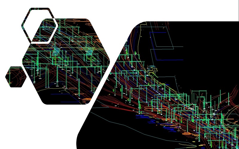
• Railway corridor mapping and digitize Railroad edges, Railway Platform, Breaklines, Utilities, Signals, Power lines and Tunnels.
• Creating 3D Line Map for Road corridor from LiDAR Point Cloud data which included paint lines, Utilities and traffic signals to be mapped.
• We have delivered projects which needed digitization of all road edges and capture different types of damages. Kind of Damages and Road type need to be attributed was captured real time which could vary from single crack, multiple cracks, potholes filled and yet to be worked upon.
Mobile Mapping Deliverables:
• Mapping data in ESRI Shape file format
• Mapping data in DWG format
Railway Network
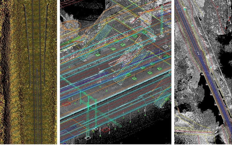
Road Network


