
VMAPS has a wealth of expertise across a diverse range of industries. We have decades of experience in the areas of Resources (Mining, Oil & Gas), Infrastructure & Construction, Electric Utilities, Aviation, Forestry & Agriculture, and Engineering. For each of these areas we have dedicated team members with advanced industry knowledge and specialist skills.
We welcome enquiries from all industries and markets. Our services enable you to capture as built details to individual pieces of project area. Our consultants can assist with every stage of your project, from the business case to the implementation and beyond. No matter the scale of your project, VMAPS has the expertise, tools, and the experience to meet your requirements.
VMAPS focuses render its services to the following industry verticals.
- Oil and Gas
- Aviation
- Architecture, Engineering & Construction
- Transportation
- Land Administration
- Utilities
- Smart Cities
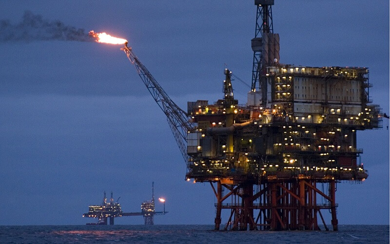
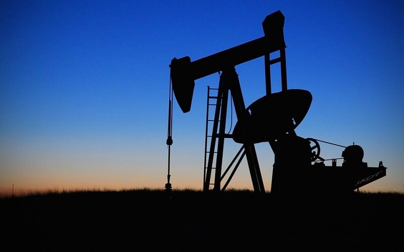
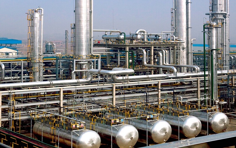
Oil & Gas
The development of modelling software, process control software, and other automation tools has benefited the industry greatly. Another such tool that is increasingly used is 3D laser scanning technology. When compared to traditional methods, 3D laser scanning has the potential to reduce follow-up visits and maintenance on site, improve safety, and increase flexibility for future brownfield modifications.
One of the more obvious industry uses involves the development of a 3D terrain survey of a proposed upstream or downstream site. The resulting models can then be used to develop terrestrial and nautical charts and reports. The data associated with the scan can also be used in seismic evaluations, field development, and site construction – from pipelines to storage facilities.
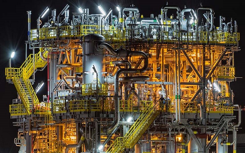
Using a variety of 3D laser scanning tools, the existing, as-built conditions of a facility can also be captured as millions of data points, which can then be imported into 3D modelling software for creating a realistic, to-scale image of the facility. That model can then be tweaked as part of a brownfield design or compared to and contrasted with a new design, utilizing “clash detection” to determine any weaknesses or errors in either of them.
An additional advantage of 3D laser scanning an existing facility is the ability to provide physical data for asset management activities. This may include quantity surveys, asset documentation, condition monitoring, tank calibration, maintenance support, and intelligent plant modelling. For example, stockpiles of crude oil at a refinery can be scanned to give quicker, more accurate quantity estimates. If a refinery changes hands, 3D documentation of the facility’s components provides a more accurate asset count. Using 3D laser scanning for generating volumetric scans of tanks or maintenance profiles of a facility also prove useful to operators and managers.
Aviation


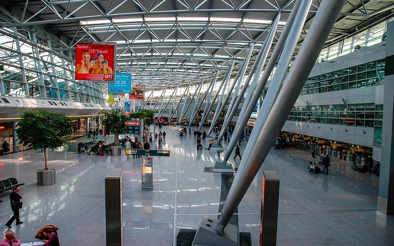
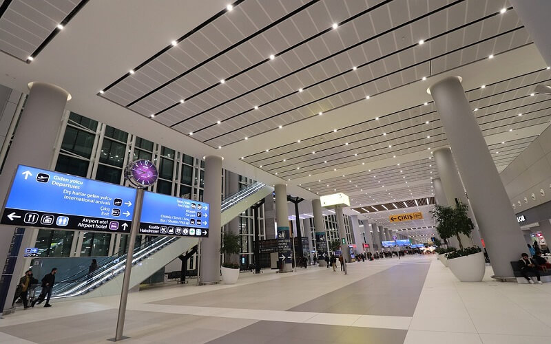
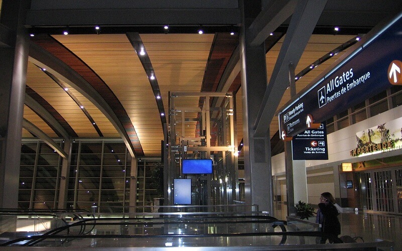
For infrastructure around airports, laser scanning is also commonly used, as such areas often are high traffic areas and mainly hardscape. For terminals and other interior spaces, laser scanning is close to early majority stage if not already there. Since airports interiors tend to have large, open spaces and baggage handling areas can be congested, laser scanning is a great fit for these types of surveys.
VMAPS has with its strategic engineering partner modelled more than 30 airports around the world.
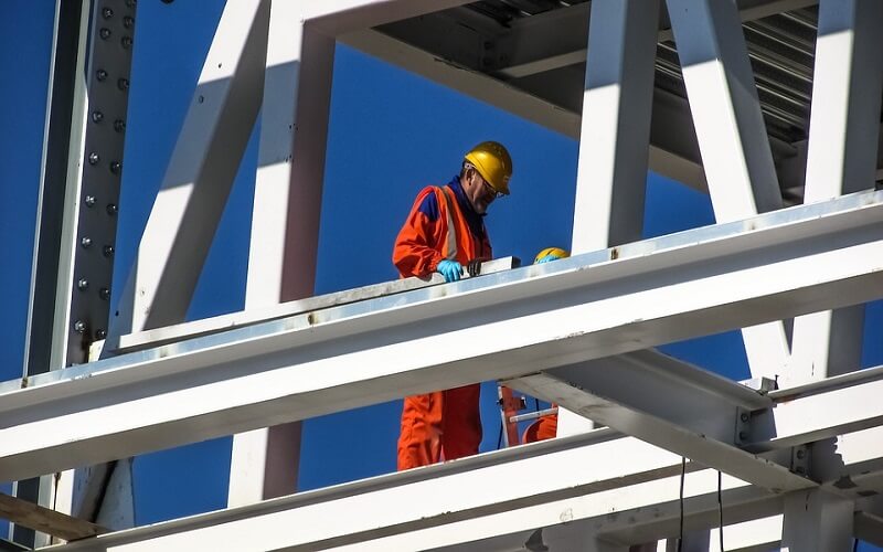
Architecture, Engineering & Construction
VMAPS has been serving construction industry for 10 plus years and has worked with Building Information Modeling (BIM) and virtual design and construction for as many years. As a BIM service provider VMAPS develops, integrates, coordinates, and manages digital intelligent models for design, construction, and facilities use post-construction. For the last several years VMAPS has been focusing on integration and consistency of BIM and related technologies across all projects. This incorporates 3D visualization, options and constructability analysis; layout, laser scanning, coordination, and quality assurance /QC; 4D phasing, sequencing, and scheduling analysis; 5D quantity, cost, and attribute data extraction; mobile access of project models and documentation; and facilities management, VMAPS has been in the forefront of continual development and refinement of BIM standards and processes.


Transportation


Mobile LiDAR has become an effective solution for rapid data collection in recent years. Laser scanning is helping many state agencies comply with a new federal law requiring them to digitally map the National Highway Systems, mobile LiDAR is becoming a boon for transportation agencies looking to increase safety and efficiency.
VMAPS has processed thousands of mile of road network across Australia, Europe, and North America.
Mapping and Land Administration
Land and Survey Departments are multi-discipline government agency comprising land, survey, planning and valuation services. These Departments maintains a well-established and unified land cadastral and land registration system for the State.
VMAPS helps these agencies with land and cadastral information which forms the core data for land administration and land management by converting them into digital and geospatial application as an integrated land information systems which records land ownership, land values, land use and other land-related data.
The application of GIS technology has helped provide the necessary datasets of various land information to facilitate the work of planners. The immediate advantage is seen in the handling of various planning applications for development and in the formulation of master plans, structure plans and local plans. GIS has allowed multiple-information such as land use, land commitment, aerial photographs, topography, land tenure and other land-related information to be overlaid with the cadastral layer, making the work of planners more effective and efficient.


Electric Utility
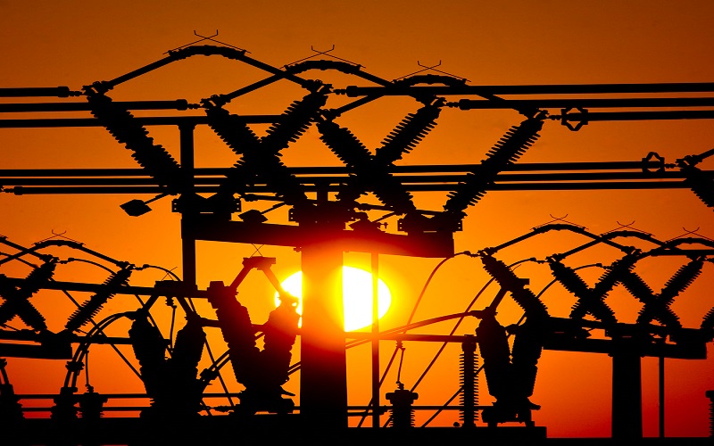
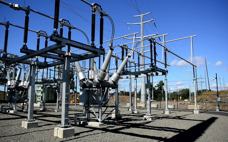
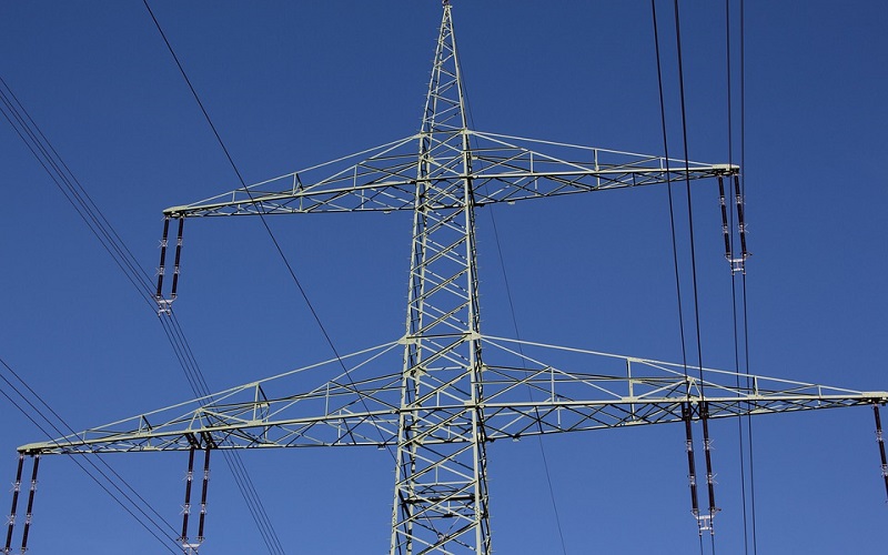
The safety of powerline infrastructure significantly affects our everyday life and industrial activities. There are many factors and objects to threaten powerline safety, which include encroaching vegetation, tree healthiness, ambient temperature of the powerlines, structural faults of insulator and tower and so on. A timely and accurate monitoring of those key powerline features enables to prevent causing possible dangerous situation such as blackout. Pre 2010 most of utility firms heavily relied on men-centric powerline monitoring methods which were time consuming and very costly, and also hazardous work.
However, in the last decade airborne LiDAR system was introduced as a cost-effective data acquisition tool which enables to rapidly capture 3D powerline scene with up to about 30 points/m2. This dramatically increased point density would provide a great possibility for achieving the automation of 3D reconstruction of powerline scene features which is an essential step for a machine-based powerline safety monitoring.
The interaction of severe weather, overhead electric infrastructure and surrounding vegetation contributes to power outages. Given that 90% of storm outages in Connecticut are tree-related, recent wildfire in 2019 started because a tree fell on powerline in California, accurate modelling of power outages before a disaster arrives could result in improved pre-staging of crews and equipment resulting in improved electric reliability.
VMAPS has been in the forefront of mapping thousands of powerline circuits to mitigate such risk in both transmission and distribution corridors.
Smart Cities
The first step in the implementation of smart city projects concerns the construction of the urban digital model that describes the components of the urban built and natural environments. For each urban component, the digital model provides the geolocalisation and characteristics (attributes). GIS is generally used for the construction of the digital model of urban ‘horizontal components’ such as urban networks, transport facilities and natural environment, while building information modelling (BIM) is used for the description of ‘vertical components’ such as buildings.
The combination of GIS and BIM provides a powerful tool for the construction of the urban digital model with georeferenced data and the visualisation of this data in a user-friendly environment.
VMAPS has provided as built 3D city models of some of the biggest metropolises around the globe from Europe to North America.