
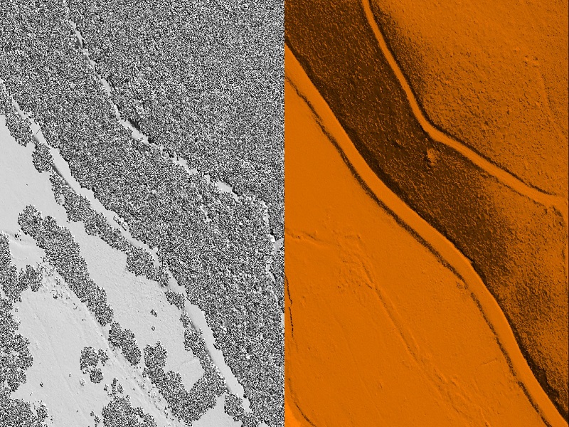
Aerial Lidar (Light Detection and Ranging) is aerial mapping technology that uses calibrated laser returns from the earth’s surface are reflected to an overflying GPS-monitored aircraft equipped with on-board positional and IMU sensors. After post-flight production processes, the acquired Lidar Map data determines the precise elevation and geospatial location of features on the earth’s surface. With innovations such as multiple intensity returns and increased pulse repetition rates, Lidar data is an accurate and effective method for creating three-dimensional topographical aerial maps and highly accurate aerial surveys of both surface terrain elements and man-made structures.
Lidar is commonly used to make high-resolution maps, with applications in surveying, geodesy, geomatics, archaeology, geography, geology, geomorphology, seismology, forestry, atmospheric physics, laser guidance, airborne laser swath mapping (ALSM), and laser altimetry. The technology is also used in control and navigation for autonomous cars.
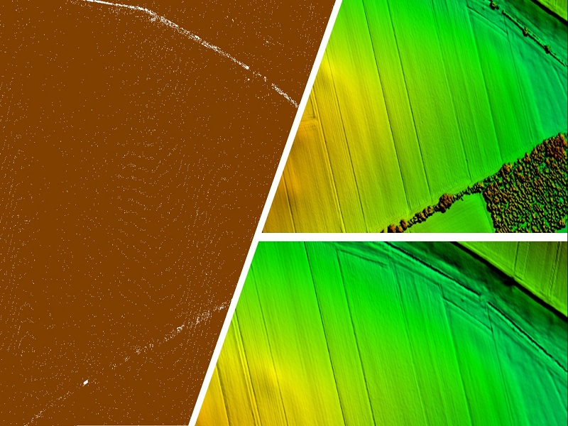
VMAPS has processed more than 10,000 Km of electric powerline across the world, through its seasoned team VMAPS provides LiDAR post processing services which includes but is not limited to the following:
- Bare Earth Classification
- Powerline Classification- Have executed around 5000 Miles of powerline
- Corridor across three continents
- Stringing and Attachments
- Features Classification
- 2D Line Mapping
- Aerial Triangulation – Terraphoto Processing
- Orthophotos
AERIAL LIDAR PRODUCT DELIVERABLES
- Classified Lidar data in .LAZ format
- Mapping data in DGN format
- Orthophoto in Tiff/Tfw format
Powerline Mapping


