
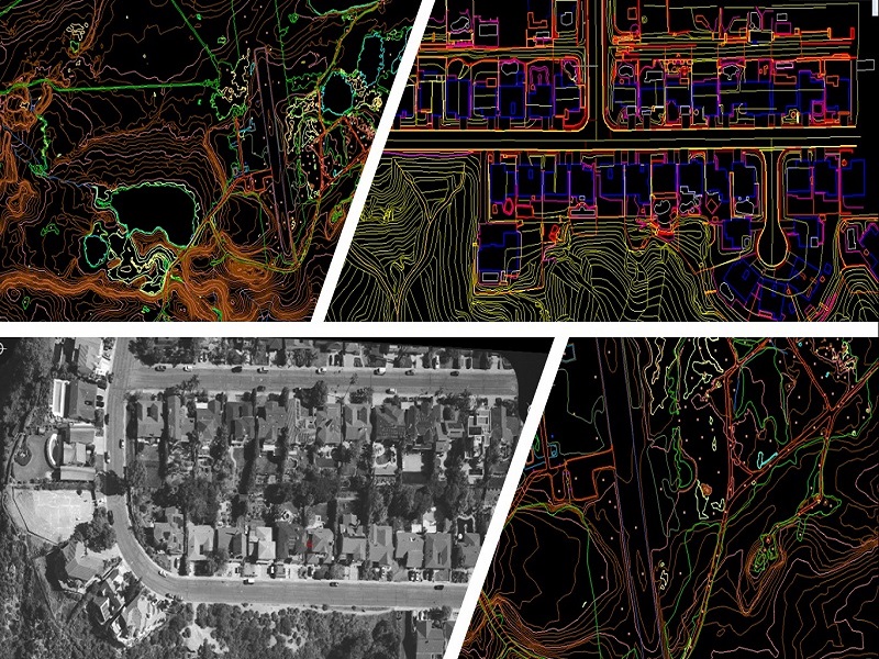
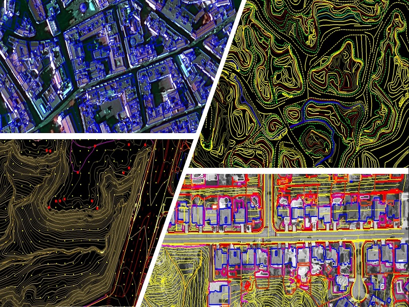
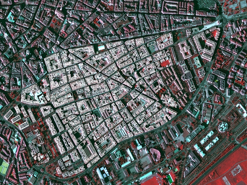
Aerial & Satellite Mapping
VMAPS specializes in providing digital data from Aerial and Satellite imagery, typical scope of work includes Aerial Triangulation, creating DTM/DSM and digitization of all Planimetry features along with Orthophotos in the most cost-effective way.
Typical Deliverables Include:
- AT Results
- ISAT project format
- LPS Blockfile
- EO Parameters in .txt format
- DTM Data
- Breaklines in DWG format
- Bridges in DWG format
- 2m Grid in ASC format
- Orthophoto
- Tiff & Tfw format
- Mapping data in .DXF format

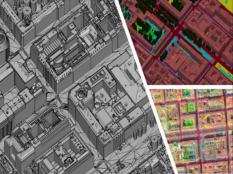
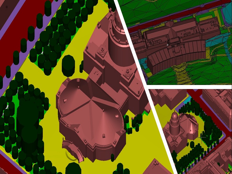
3D City Model
VMAPS helps its partners by creating high detailed 3D city models for visualization, analysis, and planning. The typical scope of such project includes creating as-built 3D Model by digitizing 3D Buildings and ground surface features and delivering Solid 3D Model for smarter cities.
Typical Deliverables Include:
- 3D Buildings and Terrain data in following formats
- DWG
- DGN
- SOLID Models